4 Leyfield, Albourne, Hassocks, BN6 9DA
About 4 Leyfield
4 Leyfield is a detached house in Albourne, Hassocks, Hassocks (BN6 9DA). It has a recorded floor area of 107 m² (around 1152 sq ft), construction records dating it to 1950-1966 and council tax band E. The latest certificate (October 2025) shows a D (score 64), on the cusp of jumping into the C band. The recommended improvements would push it to C (score 77).
Know exactly what you're buying at 4 Leyfield
Before you offer, see what the listing won't tell you, the true value, the red flags and the full history.
Already flagged here
Launch offer · save £5
Valuation
against the asking price
Risks
planning & flood
Sold prices
similar homes nearby
Trends
the local market
Energy performance
EPC Rating
Planning history
4 Leyfield has no planning applications on record.
Notable planning nearby
11applications of note in the surrounding area
We flagged 1 thing worth checking at 4 Leyfield
Independent checks surfaced things a buyer would want to understand before offering. The report explains each one in full, with the underlying data and what to ask.
- Larger development activity nearby
30-day money-back guarantee
Sales history & valuation
4 Leyfield has no Land Registry sales on file, suggesting it has stayed in the same hands since registration began.
£576,000
Modelled from EPC, postcode comparables.
No sales recorded with HM Land Registry
That can mean the property has never traded since the registry began publishing in 1995, was a new build that hasn't been registered yet, or is held in the same hands long-term.
Median price across the last 5 sales in BN6 9DA: £550,000 (2022–2020).
Nearby sales in BN6 9DA
Muscari House, Leyfield, Albourne, Hassocks, BN6 9DA
Sold Aug 2022
£950,0003 Leyfield, Albourne, Hassocks, BN6 9DA
Sold Nov 2021
£541,0002 Leyfield, Albourne, Hassocks, BN6 9DA
Sold Dec 2020
£550,0009 Leyfield, Albourne, Hassocks, BN6 9DA
Sold Aug 2020
£660,00011 Leyfield, Albourne, Hassocks, BN6 9DA
Sold Jul 2020
£525,000
Everything we know about 4 Leyfield, in one report
What it's really worth, what could be wrong, and the planning, sales and area data in full.
What we flagged
- Larger development activity nearby

Versus other Leyfield homes
4 Leyfield is notably below the street on habitable rooms.
EPC Rating
64 (D)
Street avg 67 (D)
Floor Area
107 m²
Street avg 127 m²
CO₂ Emissions
3.5 t/year
Street avg 4.6 t/year
Habitable Rooms
5 rooms
Street avg 7 rooms
Similar properties nearby
1 Bishops Close, Hurstpierpoint
BN6 9XU
1 Barter Close, Hurstpierpoint
BN6 9FS
1 Cuckfield Road, Hurstpierpoint
BN6 9RP
1 Church Lane, Albourne
BN6 9BX
1 Barn Close, Albourne
BN6 9DG
1 Cottage Homes, Truslers Hill Lane, Albourne
BN6 9JL
1 Berrylands Cottages, London Road, Sayers Common
BN6 9HX
1 Campion Close
BN6 9ZR
The neighbourhood at a glance
Crime
1/mo
Steady year-on-year across the wider district.
Nearest stop
0.1 km
Butts Cottages — bus stop.
Closest school
0.3 km
Albourne Church of England Primary School. 2 schools nearby.
Go deeper on the local area
The full report breaks down crime, transport links, schools and air quality in depth.
Road noise across the postcode

Daytime· 07:00 – 23:00
54.6dB
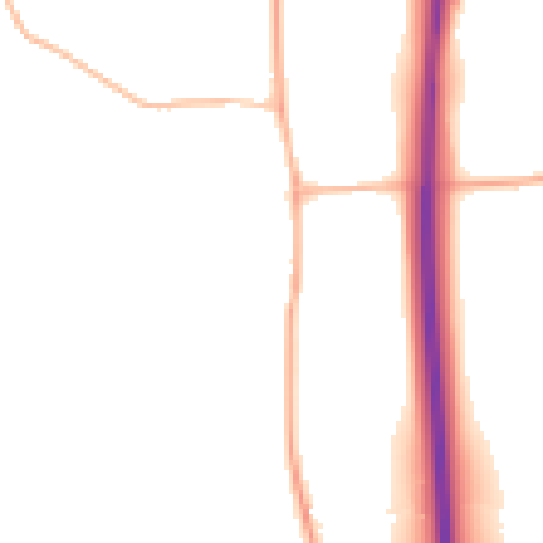
Night-time· 23:00 – 07:00
47.4dB