27 Brambledean Road, Portslade, Brighton, BN41 1LP
About 27 Brambledean Road
27 Brambledean Road is a two-bedroom property in Portslade, Brighton, Brighton (BN41 1LP). It has council tax band B.
Held since November 2005 — that's 21 years off the open market, well above the local norm. Across 2000–2005, sale prices on this property compounded at 11.1% per year.
Know exactly what you're buying at 27 Brambledean Road
Before you offer, see what the listing won't tell you, the true value, the red flags and the full history.
Already flagged here
Valuation
against the asking price
Risks
planning & flood
Sold prices
similar homes nearby
Trends
the local market
What this property has
Inside
- Bedrooms2
- Dining roomYes
Outside
- Private gardenWest-facing
Building
- RefurbishedYes
Energy performance
No EPC on record
This property doesn't have an Energy Performance Certificate yet. An EPC is required to sell or let — and unlocks our automated valuation.
Planning history
27 Brambledean Road has no planning applications on record.
Notable planning nearby
7applications of note in the surrounding area
We flagged 2 things worth checking at 27 Brambledean Road
Independent checks surfaced things a buyer would want to understand before offering. The report explains each one in full, with the underlying data and what to ask.
- Signs of HMO activity in the area
- Larger development activity nearby
30-day money-back guarantee
Sales history & valuation
27 Brambledean Road changed hands twice within eighteen months — unusual for the area.
£176,000
Growth on file: 11.1% per year over 5 years.
Sales timeline
18 November 2005Most recent
£176,000
+8.0%over 1 year3 June 2004
£162,950
+63.0%over 3 years29 June 2000
£99,950
Median price across the last 5 sales in BN41 1LP: £420,000 (2024–2020).
Nearby sales in BN41 1LP
10 Brambledean Road, Portslade, Brighton, BN41 1LP
Sold Dec 2024
£570,00053 Brambledean Road, Portslade, Brighton, BN41 1LP
Sold Dec 2024
£400,00063 Brambledean Road, Portslade, Brighton, BN41 1LP
Sold Jan 2021
£420,00012 Brambledean Road, Portslade, Brighton, BN41 1LP
Sold Dec 2020
£340,00045 Brambledean Road, Portslade, Brighton, BN41 1LP
Sold Dec 2020
£470,000
Everything we know about 27 Brambledean Road, in one report
What it's really worth, what could be wrong, and the planning, sales and area data in full.
What we flagged
- Signs of HMO activity in the area
- Larger development activity nearby

Similar properties nearby
1 Gardener Street, Portslade
BN41 1SX
1 Brambledean Road, Portslade
BN41 1LP
1 Garden Close, Portslade
BN41 1XL
1 Park Crescent, Portslade
BN41 1SR
1 Albion Street, Portslade
BN41 1DQ
1 Barnes Road, Portslade
BN41 1SY
1 Eastbrook Road, Portslade
BN41 1LN
1 Links Road, Portslade
BN41 1XH
The neighbourhood at a glance
Rail-style transport is unusually close for this postcode.
Crime
4/mo
Steady year-on-year across the wider district.
Nearest stop
0.2 km
Mill Road — bus stop.
Closest school
0.2 km
St Mary's Catholic Primary School. 21 schools nearby.
Go deeper on the local area
The full report breaks down crime, transport links, schools and air quality in depth.
Road noise across the postcode
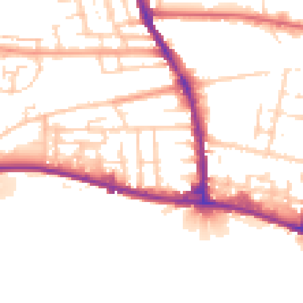
Daytime· 07:00 – 23:00
51.9dB

Night-time· 23:00 – 07:00
43.3dB