1 Brambledean Road, Portslade, Brighton, BN41 1LP
About 1 Brambledean Road
1 Brambledean Road is a two-bedroom end-of-terrace house in Portslade, Brighton, Brighton (BN41 1LP). It has a recorded floor area of 74 m² (around 797 sq ft), construction records dating it to 1900-1929 and council tax band B. The latest certificate (September 2016) shows an E (score 53), well below the UK norm with real room to improve. Earlier certificates rated it D (April 2014); the latest reading is one band lower. Between certificates, roof efficiency dropped from Average to Very Poor and lighting dropped from Average to Very Poor. The recommended improvements would lift it to C (score 76), a 2-band jump. Records show the property has been extended at some point in its history.
On energy efficiency it sits in the bottom 10% of properties in this postcode — significant headroom for improvement. Across 2014–2019, sale prices on this property compounded at 7.7% per year. Today's modelled estimate of £406,000 is 28.9% above the 2019 sale price. On a £-per-square-foot basis, the last sale (£395/sq ft) was about 84.1% above the typical sold price in the postcode. Most recent transfer: September 2019 at £315,000.
Know exactly what you're buying at 1 Brambledean Road
Before you offer, see what the listing won't tell you, the true value, the red flags and the full history.
Already flagged here
Valuation
against the asking price
Risks
planning & flood
Sold prices
similar homes nearby
Trends
the local market
What this property has
Inside
- Bedrooms2
- Bathrooms2
- Dining roomYes
Outside
- Private gardenWest-facing
Building
- Previously extendedYes
Energy performance
1 Brambledean Road sits at the bottom of the postcode for energy efficiency — meaningful headroom to improve.
EPC Rating
Planning history
1 Brambledean Road has no planning applications on record.
Notable planning nearby
7applications of note in the surrounding area
We flagged 2 things worth checking at 1 Brambledean Road
Independent checks surfaced things a buyer would want to understand before offering. The report explains each one in full, with the underlying data and what to ask.
- Signs of HMO activity in the area
- Larger development activity nearby
30-day money-back guarantee
Sales history & valuation
1 Brambledean Road valuation sits well clear of the typical sold price in this postcode.
£406,000
Modelled from EPC, postcode comparables and a sale-price growth of 7.7% per year over 5 years.
£315,000
Growth on file: 7.7% per year over 5 years.
Sales timeline
29 September 2019Most recent
£315,000
+43.2%over 4 years5 December 2014
£220,000
Median price across the last 5 sales in BN41 1LP: £420,000 (2024–2020).
Nearby sales in BN41 1LP
10 Brambledean Road, Portslade, Brighton, BN41 1LP
Sold Dec 2024
£570,00053 Brambledean Road, Portslade, Brighton, BN41 1LP
Sold Dec 2024
£400,00063 Brambledean Road, Portslade, Brighton, BN41 1LP
Sold Jan 2021
£420,00012 Brambledean Road, Portslade, Brighton, BN41 1LP
Sold Dec 2020
£340,00045 Brambledean Road, Portslade, Brighton, BN41 1LP
Sold Dec 2020
£470,000
Everything we know about 1 Brambledean Road, in one report
What it's really worth, what could be wrong, and the planning, sales and area data in full.
What we flagged
- Signs of HMO activity in the area
- Larger development activity nearby

Versus other Brambledean Road homes
On habitable rooms, 1 Brambledean Road runs well behind the street norm.
Price per m²
£4,257
Street avg £3,115
Floor Area
74 m²
Street avg 85 m²
Habitable Rooms
3 rooms
Street avg 5 rooms
CO₂ Emissions
4.5 t/year
Street avg 3.6 t/year
Similar properties nearby
1 Gardener Street, Portslade
BN41 1SX
1 Garden Close, Portslade
BN41 1XL
1 Park Crescent, Portslade
BN41 1SR
1 Albion Street, Portslade
BN41 1DQ
1 Barnes Road, Portslade
BN41 1SY
1 Eastbrook Road, Portslade
BN41 1LN
1 Links Road, Portslade
BN41 1XH
1 Elm Road, Portslade
BN41 1SA
The neighbourhood at a glance
Rail-style transport is unusually close for this postcode.
Crime
4/mo
Steady year-on-year across the wider district.
Nearest stop
0.2 km
Mill Road — bus stop.
Closest school
0.2 km
St Mary's Catholic Primary School. 21 schools nearby.
Go deeper on the local area
The full report breaks down crime, transport links, schools and air quality in depth.
Road noise across the postcode
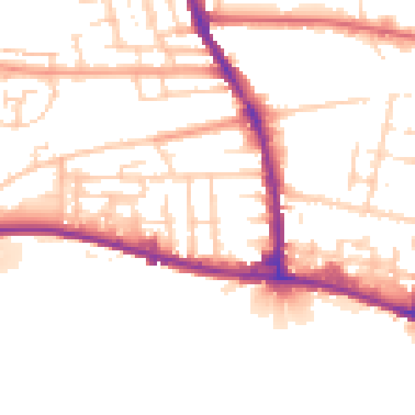
Daytime· 07:00 – 23:00
51.9dB

Night-time· 23:00 – 07:00
43.3dB