12 Brambledean Road, Portslade, Brighton, BN41 1LP
About 12 Brambledean Road
12 Brambledean Road is a semi-detached house in Portslade, Brighton, Brighton (BN41 1LP). It has a recorded floor area of 116 m² (around 1249 sq ft), construction records dating it to 1930-1949 and council tax band B. The latest certificate (September 2025) shows a C (score 72). When first surveyed in July 2015 the rating was D, the property has climbed 1 band since. Between certificates, window efficiency went from Average to Good and lighting went from Average to Good. The recommended improvements would push it to B (score 82).
At 116 m² the property is well over the postcode median (77 m² across 26 EPCs), placing it in the larger end of the local stock. Its energy rating outperforms most of the postcode (better than 81% of similar EPCs). Across 2015–2020, sale prices on this property compounded at 6% per year. Today's modelled estimate of £565,000 sits 66.2% above the 2020 sale of £340,000. On a £-per-square-foot basis, the last sale (£272/sq ft) was about 22.5% above the typical sold price in the postcode. One planning record on file: an extension refused in 2023. Last sale on file: £340,000 in December 2020.
Know exactly what you're buying at 12 Brambledean Road
Before you offer, see what the listing won't tell you, the true value, the red flags and the full history.
Already flagged here
Valuation
against the asking price
Risks
planning & flood
Sold prices
similar homes nearby
Trends
the local market
Energy performance
EPC Rating
Property Improvements
Changes detected from historical EPC data
High performance glazing installed
More low energy lighting installed
Planning history
A a two-storey side extension application was refused at 12 Brambledean Road in 2023.
- May 2023ExtensionFullIn report
Extension: Two storey · Side of property
Erection of 2 storey side extension
- Agent
- Mr Martin McCurdy
- Documents
- 28 docs on file
- Reference
- BH2022/03789
We flagged 3 things worth checking at 12 Brambledean Road
Independent checks surfaced things a buyer would want to understand before offering. The report explains each one in full, with the underlying data and what to ask.
- Signs of HMO activity in the area
- Larger development activity nearby
- A planning decision worth checking
30-day money-back guarantee
Sales history & valuation
The latest sale landed in the post-pandemic price surge — useful context when reading the figure.
£565,000
Modelled from EPC, postcode comparables and a sale-price growth of 6.0% per year over 5 years.
£340,000
Growth on file: 6.0% per year over 5 years.
Sales timeline
21 December 2020Most recent
£340,000
+35.5%over 5 years7 October 2015
£251,000
Median price across the last 5 sales in BN41 1LP: £420,000 (2024–2019).
Nearby sales in BN41 1LP
10 Brambledean Road, Portslade, Brighton, BN41 1LP
Sold Dec 2024
£570,00053 Brambledean Road, Portslade, Brighton, BN41 1LP
Sold Dec 2024
£400,00063 Brambledean Road, Portslade, Brighton, BN41 1LP
Sold Jan 2021
£420,00045 Brambledean Road, Portslade, Brighton, BN41 1LP
Sold Dec 2020
£470,0001 Brambledean Road, Portslade, Brighton, BN41 1LP
Sold Sept 2019
£315,000
Everything we know about 12 Brambledean Road, in one report
What it's really worth, what could be wrong, and the planning, sales and area data in full.
What we flagged
- Signs of HMO activity in the area
- Larger development activity nearby
- A planning decision worth checking

Versus other Brambledean Road homes
On habitable rooms, 12 Brambledean Road stands well clear of the street.
Price per m²
£2,931
Street avg £3,173
Floor Area
116 m²
Street avg 84 m²
Habitable Rooms
7 rooms
Street avg 5 rooms
CO₂ Emissions
3.3 t/year
Street avg 3.7 t/year
Similar properties nearby
1 Rothbury Mews, Franklin Road, Portslade
BN41 1AU
1 Norway Street, Portslade
BN41 1GN
1 Portslade Mews, Portslade
BN41 1AX
1 Gardner Road, Portslade
BN41 1PN
1 Links Road, Portslade
BN41 1XH
1 Gardener Street, Portslade
BN41 1SX
1 Brambledean Road, Portslade
BN41 1LP
1 Garden Close, Portslade
BN41 1XL
The neighbourhood at a glance
Rail-style transport is unusually close for this postcode.
Crime
4/mo
Steady year-on-year across the wider district.
Nearest stop
0.2 km
Mill Road — bus stop.
Closest school
0.2 km
St Mary's Catholic Primary School. 21 schools nearby.
Go deeper on the local area
The full report breaks down crime, transport links, schools and air quality in depth.
Road noise across the postcode
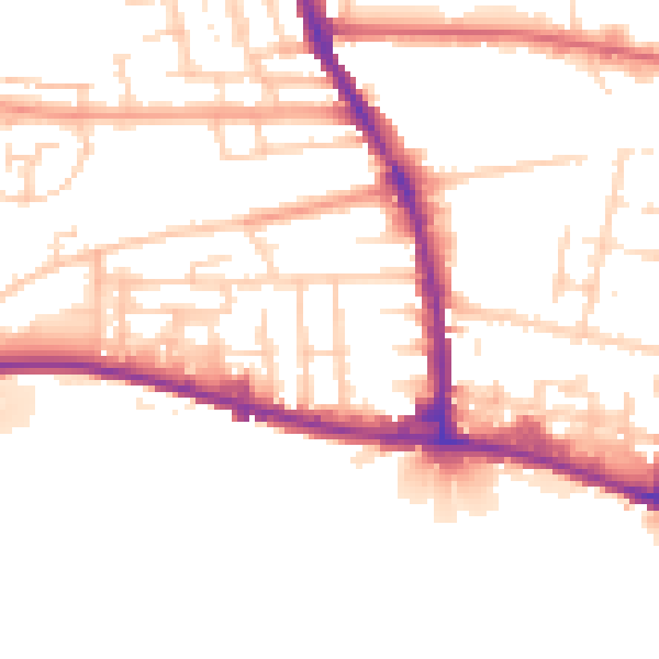
Daytime· 07:00 – 23:00
51.9dB

Night-time· 23:00 – 07:00
43.3dB