17 Albany Drive, Bury, BL9 9RD
About 17 Albany Drive
17 Albany Drive is a property in Bury (BL9 9RD). It has council tax band D.
Untraded for 17 years, with the last transfer in November 2009. That sale fell during the post-crash dip, which often skews comparisons against later neighbouring sales. One planning record on file: an extension approved in 2007. Past consents include an extension, meaningful when judging how the property has evolved.
Know exactly what you're buying at 17 Albany Drive
Before you offer, see what the listing won't tell you, the true value, the red flags and the full history.
Already flagged here
Valuation
against the asking price
Risks
planning & flood
Sold prices
similar homes nearby
Trends
the local market
Energy performance
No EPC on record
This property doesn't have an Energy Performance Certificate yet. An EPC is required to sell or let — and unlocks our automated valuation.
Planning history
17 Albany Drive has an approved extension on the planning record.
- Mar 2007ExtensionFullIn report
EXTENSIONS TO FRONT, SIDE AND REAR INCLUDING NEW ROOF AND INCREASE IN RIDGE HEIGHT TO 7.5M (DESCRIPTION CHANGED)
- Agent
- Northside Plans Ltd
- Documents
- 7 docs on file
- Reference
- 47522
We flagged 1 thing worth checking at 17 Albany Drive
Independent checks surfaced things a buyer would want to understand before offering. The report explains each one in full, with the underlying data and what to ask.
- Signs of HMO activity in the area
30-day money-back guarantee
Sales history & valuation
The latest sale fell during the post-2008 dip, often a low-water mark in price comparisons.
£218,000
Recorded with HM Land Registry.
Sales timeline
10 November 2009Most recent
£218,000
Median price across the last 5 sales in BL9 9RD: £290,000 (2023–2017).
Everything we know about 17 Albany Drive, in one report
What it's really worth, what could be wrong, and the planning, sales and area data in full.
What we flagged
- Signs of HMO activity in the area

Similar properties nearby
The neighbourhood at a glance
Daytime road noise here sits well below conversation level — a quiet pocket of the postcode.
Nearest stop
0.1 km
Saint Peter's Road — bus stop.
Closest school
0.5 km
St Peter's Church of England Primary School. 34 schools nearby.
Go deeper on the local area
The full report breaks down crime, transport links, schools and air quality in depth.
Road noise across the postcode
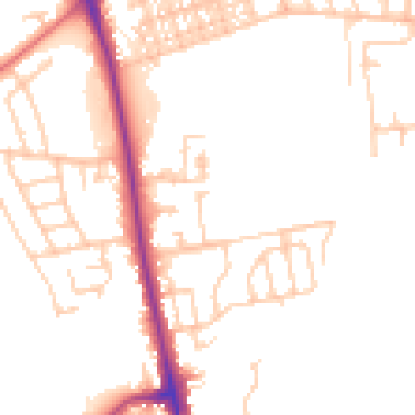
Daytime· 07:00 – 23:00
49.5dB

Night-time· 23:00 – 07:00
40.9dB