14 Albany Drive, Bury, BL9 9RD
About 14 Albany Drive
14 Albany Drive is a detached house in Bury (BL9 9RD). It has a recorded floor area of 93 m² (around 1001 sq ft), construction records dating it to 1950-1966 and council tax band D. The latest certificate (April 2018) shows a D (score 64), on the cusp of jumping into the C band. The recommended improvements would push it to C (score 79).
Across 2001–2018, sale prices on this property compounded at 1.2% per year. Today's modelled estimate of £296,000 sits 74.1% above the 2018 sale of £170,000. On a £-per-square-foot basis, the last sale (£170/sq ft) was about 18.7% below the postcode norm. One planning record on file: an extension approved in 2018. Past consents include an extension, meaningful when judging how the property has evolved. Most recent transfer: July 2018 at £170,000.
Know exactly what you're buying at 14 Albany Drive
Before you offer, see what the listing won't tell you, the true value, the red flags and the full history.
Already flagged here
Valuation
against the asking price
Risks
planning & flood
Sold prices
similar homes nearby
Trends
the local market
Energy performance
EPC Rating
Planning history
14 Albany Drive has an approved single-storey side and rear extension on the planning record.
- Oct 2018ExtensionFullIn report
Extension: Single storey · Side and rear of property
Single storey extension at side/rear; Single storey extension at rear
- Documents
- 11 docs on file
- Reference
- 63237
We flagged 1 thing worth checking at 14 Albany Drive
Independent checks surfaced things a buyer would want to understand before offering. The report explains each one in full, with the underlying data and what to ask.
- Signs of HMO activity in the area
30-day money-back guarantee
Sales history & valuation
14 Albany Drive's sale-price growth has lagged the wider UK trajectory across its history on file.
£296,000
Modelled from EPC, postcode comparables and a sale-price growth of 1.2% per year over 17 years.
£170,000
Growth on file: 1.2% per year over 17 years.
Sales timeline
19 July 2018Most recent
£170,000
+22.3%over 16 years27 September 2001
£139,000
Median price across the last 5 sales in BL9 9RD: £353,500 (2023–2016).
Everything we know about 14 Albany Drive, in one report
What it's really worth, what could be wrong, and the planning, sales and area data in full.
What we flagged
- Signs of HMO activity in the area

Versus other Albany Drive homes
On epc rating, 14 Albany Drive stands well clear of the street.
Price per m²
£1,828
Street avg £2,593
Floor Area
93 m²
Street avg 133 m²
Habitable Rooms
5 rooms
Street avg 5 rooms
CO₂ Emissions
4.5 t/year
Street avg 5.5 t/year
Similar properties nearby
The neighbourhood at a glance
Daytime road noise here sits well below conversation level — a quiet pocket of the postcode.
Nearest stop
0.1 km
Saint Peter's Road — bus stop.
Closest school
0.5 km
St Peter's Church of England Primary School. 34 schools nearby.
Go deeper on the local area
The full report breaks down crime, transport links, schools and air quality in depth.
Road noise across the postcode
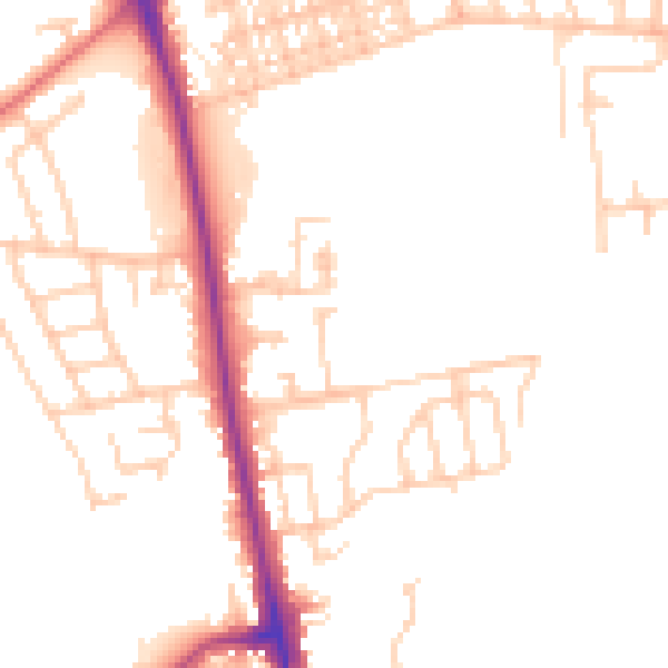
Daytime· 07:00 – 23:00
49.5dB

Night-time· 23:00 – 07:00
40.9dB