6 Arden Road, Bournemouth, BH9 2UF
About 6 Arden Road
6 Arden Road is a three-bedroom detached house in Bournemouth (BH9 2UF). It has a recorded floor area of 108 m² (around 1163 sq ft), construction records dating it to 1930-1949 and council tax band D. The latest certificate (June 2017) shows a D (score 63), on the cusp of jumping into the C band. The recommended improvements would push it to C (score 78).
On a £-per-square-foot basis, the last sale (£374/sq ft) was about 59.5% above the typical sold price in the postcode. Most recent transfer: March 2024 at £435,000.
What this property has
Inside
- Bedrooms3
- Bathrooms1
- Dining roomYes
- CloakroomYes
Outside
- Private gardenSouth-west-facing
- GarageDetached
Everything you need to know about 6 Arden Road
The true value, the hidden risks and the full sale history, in one report.
Pick your report · every report is £14.99
One time fee only - money back guarantee

The data behind every report


Energy performance
EPC Rating
Get a survey for this property
Level 2 HomeBuyer Report
We've checked 10 risk factors against the available data for this property and believe a Level 2 HomeBuyer Report could be a suitable option for you.
From £695 · Includes VAT
Planning history
6 Arden Road has no planning applications on record.
But the area is active
71 notable applications nearby — larger schemes and conversions that could reshape the street. The report maps them all.
Sales history & valuation
6 Arden Road valuation sits well clear of the typical sold price in this postcode.
£455,000
Modelled from EPC, postcode comparables.
£435,000
Recorded with HM Land Registry.
Sales timeline
6 March 2024Most recent
£435,000
Median price across the last 5 sales in BH9 2UF: £305,000 (2025–2012).
Versus other Arden Road homes
6 Arden Road outperforms the street on epc rating by a wide margin.
Price per m²
£4,028
Street avg £2,926
Floor Area
108 m²
Street avg 109 m²
Habitable Rooms
5 rooms
Street avg 5 rooms
CO₂ Emissions
4.1 t/year
Street avg 5.9 t/year
Everything you need to know about 6 Arden Road
The true value, the hidden risks and the full sale history, in one report.
Pick your report · every report is £14.99
One time fee only - money back guarantee
The data behind every report
Similar properties nearby
1 Carey Road
BH9 2XB
1 Highfield Road
BH9 2SE
1 Grenfell Road
BH9 2UD
1 Marks Road
BH9 2XQ
1 Kemp Road
BH9 2PW
1 Lawford Rise, Wimborne Road
BH9 2BZ
1 Comber Road
BH9 2XG
1 Bentley Road
BH9 2UE
The neighbourhood at a glance
Crime
4/mo
Steady year-on-year across the wider district.
Nearest stop
0.2 km
Linden Road — bus stop.
Closest school
0.8 km
Hill View Primary School. 22 schools nearby.
Go deeper on the local area
A Local Area report breaks down crime, transport links, schools and air quality in depth.
Road noise across the postcode
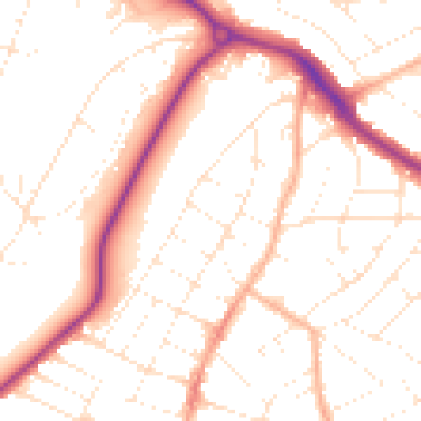
Daytime· 07:00 – 23:00
51.1dB

Night-time· 23:00 – 07:00
41.0dB