1 Highfield Road, Bournemouth, BH9 2SE
About 1 Highfield Road
1 Highfield Road is a three-bedroom detached house in Bournemouth (BH9 2SE). It has a recorded floor area of 125 m² (around 1345 sq ft), construction records dating it to 1930-1949 and council tax band C. The latest certificate (September 2017) shows a D (score 67), on the cusp of jumping into the C band. The recommended improvements would lift it to B (score 83), a 2-band jump. Our model identifies extension potential, subject to local planning policy. The home occupies a corner plot.
It hasn't traded since June 2004, a hold of 22 years that's notably long for the area. Across the public record there are 5 sales, relatively high churn for a single property. Across 1999–2004, sale prices on this property compounded at 24.1% per year. Today's modelled estimate of £430,000 sits 85.3% above the 2004 sale of £232,000. On a £-per-square-foot basis, the last sale (£172/sq ft) was about 16.1% below the postcode norm. At 125 m² it's 20.2% larger than the typical home in the postcode (104 m² median across 32 EPCs).
What this property has
Inside
- Bedrooms3
- Bathrooms2
- Open-plan layoutYes
- Dining roomYes
- Utility roomYes
- CloakroomYes
- EnsuiteYes
- StudyYes
Outside
- Private gardenYes
- DrivewayYes
- Corner plotYes
Building
- Extension potentialPossible
Everything you need to know about 1 Highfield Road
The true value, the hidden risks and the full sale history, in one report.
Pick your report · every report is £14.99
One time fee only - money back guarantee

The data behind every report


Energy performance
Recommended upgrades on file would lift this property by multiple EPC bands.
EPC Rating
Get a survey for this property
Level 2 HomeBuyer Report
We've checked 10 risk factors against the available data for this property and believe a Level 2 HomeBuyer Report could be a suitable option for you.
From £695 · Includes VAT
Planning history
1 Highfield Road has no planning applications on record.
But the area is active
71 notable applications nearby — larger schemes and conversions that could reshape the street. The report maps them all.
Sales history & valuation
Sale price has at least doubled since 1999.
£430,000
Modelled from EPC, postcode comparables and a sale-price growth of 24.1% per year over 5 years.
£232,000
Growth on file: 24.1% per year over 5 years.
Sales timeline
3 June 2004Most recent
£232,000
+67.5%over 3 years23 August 2000
£138,500
+11.2%over 9 months29 November 1999
£124,500
+41.5%19 July 1999
£88,000
+12.1%27 May 1999
£78,500
Median price across the last 5 sales in BH9 2SE: £365,000 (2024–2023).
Nearby sales in BH9 2SE
Versus other Highfield Road homes
On years held, 1 Highfield Road stands well clear of the street.
Price per m²
£1,856
Street avg £2,813
Floor Area
125 m²
Street avg 108 m²
Habitable Rooms
5 rooms
Street avg 6 rooms
CO₂ Emissions
4.5 t/year
Street avg 4.9 t/year
Everything you need to know about 1 Highfield Road
The true value, the hidden risks and the full sale history, in one report.
Pick your report · every report is £14.99
One time fee only - money back guarantee
The data behind every report
Similar properties nearby
1 Carey Road
BH9 2XB
1 Marks Road
BH9 2XQ
1 Kemp Road
BH9 2PW
1 Lawford Rise, Wimborne Road
BH9 2BZ
1 Comber Road
BH9 2XG
1 Grenfell Road
BH9 2UD
1 Bentley Road
BH9 2UE
1 Church View, Victoria Park Road
BH9 2RE
The neighbourhood at a glance
Crime
4/mo
Steady year-on-year across the wider district.
Nearest stop
0.1 km
Highfield Road — bus stop.
Closest school
0.2 km
Winton Primary School. 25 schools nearby.
Go deeper on the local area
A Local Area report breaks down crime, transport links, schools and air quality in depth.
Road noise across the postcode
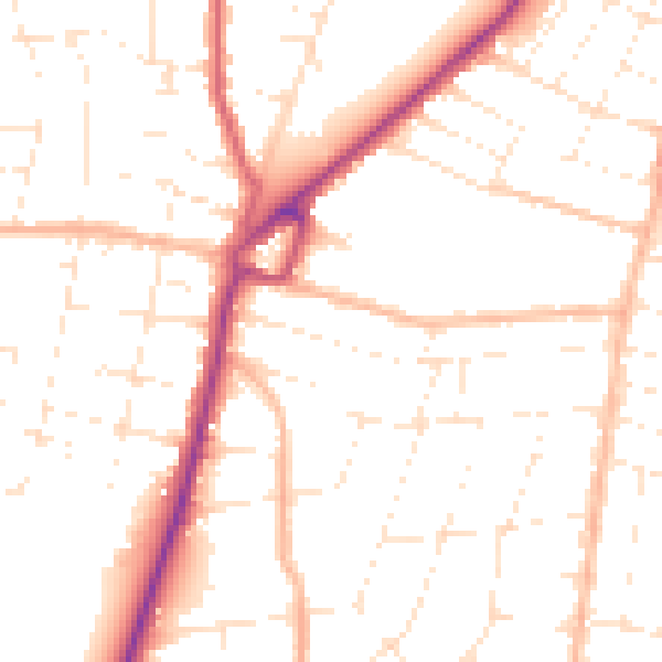
Daytime· 07:00 – 23:00
50.3dB

Night-time· 23:00 – 07:00
40.2dB