7a, Kemp Road, Bournemouth, BH9 2PW
About 7a
7a is a two-bedroom semi-detached house in Bournemouth (BH9 2PW). It has a recorded floor area of 54 m² (around 581 sq ft), construction records dating it to 1900-1929 and council tax band A. At 54 m² this is the 7th smallest of 37 units on EPC record in the building, where floor areas span 32–137 m². The building's EPC ratings span F to B across 37 units on file. The latest certificate (May 2018) shows a D (score 68), on the cusp of jumping into the C band. The recommended improvements would push it to C (score 73).
On the market in January 2016 and unlisted since — roughly 10 years. At 54 m² it's 26.5% smaller than the typical home in the postcode (74 m² median across 36 EPCs). Across 2003–2016, sale prices on this property compounded at 0.8% per year. Today's modelled estimate of £159,000 is 31.5% above the 2016 sale price.
What this property has
Inside
- Bedrooms2
- Bathrooms1
- FireplaceYes
Everything you need to know about 7a
The true value, the hidden risks and the full sale history, in one report.
Pick your report · every report is £14.99
One time fee only - money back guarantee

The data behind every report


Energy performance
EPC Rating
Get a survey for this property
Level 3 Building Survey
Because the property was built before 1919, we believe a Level 3 building survey should be considered.
From £820 · Includes VAT
Planning history
7a has no planning applications on record.
But the area is active
71 notable applications nearby — larger schemes and conversions that could reshape the street. The report maps them all.
Sales history & valuation
7a's sale-price growth has lagged the wider UK trajectory across its history on file.
£159,000
Modelled from EPC, postcode comparables and a sale-price growth of 0.8% per year over 12 years.
£120,950
Growth on file: 0.8% per year over 12 years.
Sales timeline
11 January 2016Most recent
£120,950
+10.0%over 12 years19 December 2003
£110,000
Median price across the last 5 sales in BH9 2PW: £158,500 (2025–2022).
Nearby sales in BH9 2PW
Versus other Kemp Road homes
Price per m² for 7a lags the street by a wide margin.
Price per m²
£2,240
Street avg £2,770
Floor Area
54 m²
Street avg 58 m²
Habitable Rooms
3 rooms
Street avg 3 rooms
CO₂ Emissions
2.2 t/year
Street avg 2.7 t/year
Everything you need to know about 7a
The true value, the hidden risks and the full sale history, in one report.
Pick your report · every report is £14.99
One time fee only - money back guarantee
The data behind every report
Similar properties nearby
The neighbourhood at a glance
Crime
4/mo
Steady year-on-year across the wider district.
Nearest stop
0.1 km
Lidl — bus stop.
Closest school
0.5 km
St Luke's Church of England Primary School. 26 schools nearby.
Go deeper on the local area
A Local Area report breaks down crime, transport links, schools and air quality in depth.
Road noise across the postcode
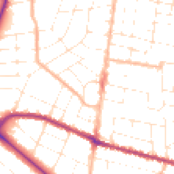
Daytime· 07:00 – 23:00
50.2dB

Night-time· 23:00 – 07:00
39.8dB