1 Iris Road, Bournemouth, BH9 2PJ
About 1 Iris Road
1 Iris Road is a two-bedroom detached house in Bournemouth (BH9 2PJ). It has a recorded floor area of 54 m² (around 581 sq ft), construction records dating it to 1930-1949 and council tax band A. At 54 m² this is the 5th smallest of 9 units on EPC record in the building, where floor areas span 45–101 m². The building's EPC ratings span F to C across 9 units on file. The latest certificate (September 2013) shows a D (score 63), on the cusp of jumping into the C band. The recommended improvements would push it to C (score 74). The latest certificate is from September 2013, so improvements made since then won't be reflected.
It hasn't traded since August 2007, a hold of 19 years that's notably long for the area. Across the public record there are 5 sales, relatively high churn for a single property. That sale landed at the peak of the pre-credit-crunch market, which is a useful reference point when interpreting the price. Across 1996–2007, sale prices on this property compounded at 10.5% per year. Today's modelled estimate of £182,000 is 30% above the 2007 sale price. On a £-per-square-foot basis, the last sale (£241/sq ft) was about 55.6% above the typical sold price in the postcode.
What this property has
Inside
- Bedrooms2
- Bathrooms1
Building
- Heating systemGas
Everything you need to know about 1 Iris Road
The true value, the hidden risks and the full sale history, in one report.
Pick your report · every report is £14.99
One time fee only - money back guarantee

The data behind every report


Energy performance
1 Iris Road's EPC is over a decade old — improvements since won't be reflected.
EPC Expired
This certificate is over 10 years old and is no longer valid.Expired 18 Sept 2023
EPC Rating
Get a survey for this property
Level 2 HomeBuyer Report
We've checked 10 risk factors against the available data for this property and believe a Level 2 HomeBuyer Report could be a suitable option for you.
From £495 · Includes VAT
Planning history
1 Iris Road has no planning applications on record.
But the area is active
71 notable applications nearby — larger schemes and conversions that could reshape the street. The report maps them all.
Sales history & valuation
1 Iris Road has more than tripled in price since its earliest registered sale in 1996.
£182,000
Modelled from EPC, postcode comparables and a sale-price growth of 10.5% per year over 11 years.
£139,950
Growth on file: 10.5% per year over 11 years.
Sales timeline
30 August 2007Most recent
£139,950
+108.9%over 6 years19 April 2001
£67,000
+26.4%over 2 years22 October 1998
£53,000
+23.4%over 2 years20 August 1996
£42,950
-4.4%27 March 1996
£44,950
Median price across the last 5 sales in BH9 2PJ: £250,000 (2022–2016).
Versus other Iris Road homes
1 Iris Road outperforms the street on co₂ emissions by a wide margin.
Price per m²
£2,592
Street avg £2,846
Floor Area
54 m²
Street avg 57 m²
Habitable Rooms
3 rooms
Street avg 4 rooms
CO₂ Emissions
2.6 t/year
Street avg 3.0 t/year
Everything you need to know about 1 Iris Road
The true value, the hidden risks and the full sale history, in one report.
Pick your report · every report is £14.99
One time fee only - money back guarantee
The data behind every report
Similar properties nearby
The neighbourhood at a glance
Daytime road noise here sits well below conversation level — a quiet pocket of the postcode.
Crime
4/mo
Steady year-on-year across the wider district.
Nearest stop
0.1 km
Library — bus stop.
Closest school
0.4 km
Moordown St John's Church of England Primary School. 26 schools nearby.
Go deeper on the local area
A Local Area report breaks down crime, transport links, schools and air quality in depth.
Road noise across the postcode
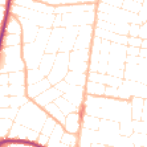
Daytime· 07:00 – 23:00
49.1dB

Night-time· 23:00 – 07:00
38.3dB