14a, Maple Road, Bournemouth, BH9 2PN
About 14a
14a is a two-bedroom detached house in Bournemouth (BH9 2PN). It has a recorded floor area of 53 m² (around 570 sq ft), construction records dating it to 1983-1990 and council tax band C. The latest certificate (March 2019) shows a D (score 62), on the cusp of jumping into the C band. The recommended improvements would lift it to B (score 83), a 2-band jump.
It hasn't traded since March 1997, a hold of 29 years that's notably long for the area. Only one transfer is on record with HM Land Registry, suggesting it has stayed in the same hands for a long time. Today's modelled estimate of £316,000 sits 364.7% above the 1997 sale of £68,000. On a £-per-square-foot basis, the last sale (£119/sq ft) was about 36.4% below the postcode norm. At 53 m² it's 27.9% smaller than the typical home in the postcode (73 m² median across 34 EPCs).
What this property has
Inside
- Bedrooms2
- Bathrooms2
- Dining roomYes
- EnsuiteYes
Outside
- Private gardenSouth-facing
- ParkingOff road
Building
- Heating systemGas
Everything you need to know about 14a
The true value, the hidden risks and the full sale history, in one report.
Pick your report · every report is £14.99
One time fee only - money back guarantee

The data behind every report


Energy performance
Recommended upgrades on file would lift this property by multiple EPC bands.
EPC Rating
Get a survey for this property
Level 2 HomeBuyer Report
We've checked 10 risk factors against the available data for this property and believe a Level 2 HomeBuyer Report could be a suitable option for you.
From £595 · Includes VAT
Planning history
14a has no planning applications on record.
But the area is active
71 notable applications nearby — larger schemes and conversions that could reshape the street. The report maps them all.
Sales history & valuation
14a's modelled value sits at over four times its earliest registered sale price (1997).
£316,000
Modelled from EPC, postcode comparables.
£68,000
Recorded with HM Land Registry.
Sales timeline
20 March 1997Most recent
£68,000
Median price across the last 5 sales in BH9 2PN: £305,000 (2024–2021).
Nearby sales in BH9 2PN
Versus other Maple Road homes
Years Held for 14a runs comfortably ahead of the street norm.
Price per m²
£1,283
Street avg £2,633
Floor Area
53 m²
Street avg 100 m²
Habitable Rooms
3 rooms
Street avg 6 rooms
CO₂ Emissions
2.6 t/year
Street avg 4.1 t/year
Everything you need to know about 14a
The true value, the hidden risks and the full sale history, in one report.
Pick your report · every report is £14.99
One time fee only - money back guarantee
The data behind every report
Similar properties nearby
The neighbourhood at a glance
Daytime road noise here sits well below conversation level — a quiet pocket of the postcode.
Crime
4/mo
Steady year-on-year across the wider district.
Nearest stop
0.2 km
Peters Hill — bus stop.
Closest school
0.4 km
St Luke's Church of England Primary School. 26 schools nearby.
Go deeper on the local area
A Local Area report breaks down crime, transport links, schools and air quality in depth.
Road noise across the postcode
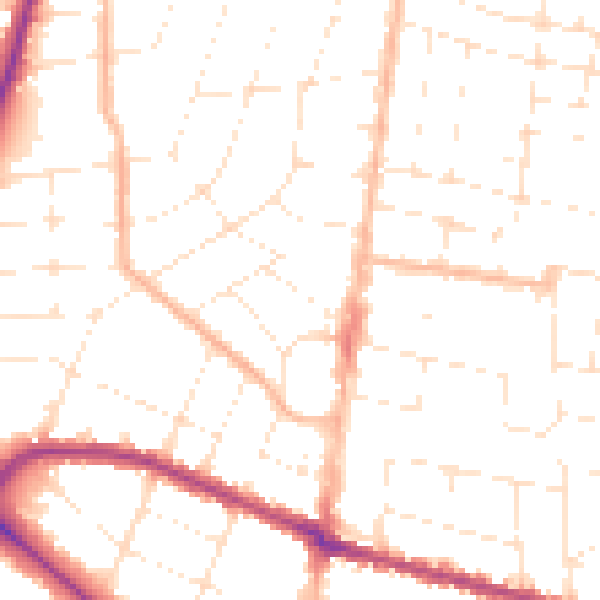
Daytime· 07:00 – 23:00
49.9dB

Night-time· 23:00 – 07:00
39.5dB