1043b, Wimborne Road, Bournemouth, BH9 2BX
About 1043b
1043b is a mid-terrace house in Bournemouth (BH9 2BX). It has a recorded floor area of 34 m² (around 366 sq ft), construction records dating it to 1930-1949 and council tax band A. At 34 m² this is the 3rd smallest of 15 units on EPC record in the building, where floor areas span 31–666 m². The building's EPC ratings span D to B across 15 units on file. The latest certificate (May 2017) shows a C (score 77), near the top of the C band.
It hasn't traded since November 2004, a hold of 22 years that's notably long for the area. At 34 m² it sits well below the postcode median (70 m² across 14 EPCs), making it one of the more compact homes locally. Across 2000–2004, sale prices on this property compounded at 18.6% per year. Today's modelled estimate of £124,000 is 45.9% above the 2004 sale price. On a £-per-square-foot basis, the last sale (£232/sq ft) was about 52.4% above the typical sold price in the postcode.
Everything you need to know about 1043b
The true value, the hidden risks and the full sale history, in one report.
Pick your report · every report is £14.99
One time fee only - money back guarantee

The data behind every report


Energy performance
1043b's carbon output is low for the local stock.
EPC Rating
Get a survey for this property
Level 2 HomeBuyer Report
We've checked 10 risk factors against the available data for this property and believe a Level 2 HomeBuyer Report could be a suitable option for you.
From £495 · Includes VAT
Planning history
1043b has no planning applications on record.
But the area is active
71 notable applications nearby — larger schemes and conversions that could reshape the street. The report maps them all.
Sales history & valuation
Sale price has at least doubled since 2000.
£124,000
Modelled from EPC, postcode comparables and a sale-price growth of 18.6% per year over 4 years.
£85,000
Growth on file: 18.6% per year over 4 years.
Sales timeline
3 November 2004Most recent
£85,000
+112.5%over 2 years12 June 2002
£40,000
+1.3%over 2 years11 May 2000
£39,500
Median price across the last 5 sales in BH9 2BX: £129,500 (2025–2009).
Nearby sales in BH9 2BX
1045a, Wimborne Road, Bournemouth, BH9 2BX
Sold Feb 2025
£165,0001037a, Wimborne Road, Bournemouth, BH9 2BX
Sold Mar 2014
£141,0001033a, Wimborne Road, Bournemouth, BH9 2BX
Sold Sept 2012
£129,5001033 Wimborne Road, Bournemouth, BH9 2BX
Sold Jun 2007
£149,9501041c, Wimborne Road, Bournemouth, BH9 2BX
Sold Jul 2005
£120,000
Versus other Wimborne Road homes
On co₂ emissions, 1043b stands well clear of the street.
Price per m²
£2,500
Street avg £1,951
Floor Area
34 m²
Street avg 106 m²
Habitable Rooms
1 rooms
Street avg 3 rooms
CO₂ Emissions
1.1 t/year
Street avg 2.9 t/year
Everything you need to know about 1043b
The true value, the hidden risks and the full sale history, in one report.
Pick your report · every report is £14.99
One time fee only - money back guarantee
The data behind every report
Similar properties nearby
The neighbourhood at a glance
Crime
4/mo
Steady year-on-year across the wider district.
Nearest stop
0.1 km
Linden Road — bus stop.
Closest school
0.8 km
Winton Primary School. 22 schools nearby.
Go deeper on the local area
A Local Area report breaks down crime, transport links, schools and air quality in depth.
Road noise across the postcode
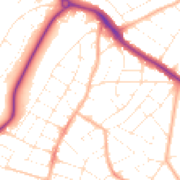
Daytime· 07:00 – 23:00
51.3dB

Night-time· 23:00 – 07:00
40.9dB