430a, Holdenhurst Road, Bournemouth, BH8 9AA
About 430a
430a is a semi-detached house in Bournemouth (BH8 9AA). It has a recorded floor area of 54 m² (around 581 sq ft), construction records dating it to 1930-1949 and council tax band A. At 54 m² this is the 4th smallest of 13 units on EPC record in the building, where floor areas span 33–88 m². The building's EPC ratings span E to C, with this unit at the top. The latest certificate (March 2022) shows a C (score 72). The rating has held steady at C across 2 certificates since March 2012. Between certificates, roof efficiency dropped from Very Good to Good.
Everything you need to know about 430a
The true value, the hidden risks and the full sale history, in one report.
Pick your report · every report is £14.99
One time fee only - money back guarantee

The data behind every report


Energy performance
EPC Rating
Property Improvements
Changes detected from historical EPC data
Windows upgraded, improving insulation
Get a survey for this property
Level 2 HomeBuyer Report
We've checked 10 risk factors against the available data for this property and believe a Level 2 HomeBuyer Report could be a suitable option for you.
From £495 · Includes VAT
Planning history
430a has no planning applications on record.
But the area is active
7 notable applications nearby — larger schemes and conversions that could reshape the street. The report maps them all.
Sales history & valuation
430a has no Land Registry sales on file, suggesting it has stayed in the same hands since registration began.
£180,000
Modelled from EPC, postcode comparables.
No sales recorded with HM Land Registry
That can mean the property has never traded since the registry began publishing in 1995, was a new build that hasn't been registered yet, or is held in the same hands long-term.
Median price across the last 5 sales in BH8 9AA: £185,000 (2023–2000).
Versus other Holdenhurst Road homes
On floor area, 430a runs well behind the street norm.
EPC Rating
72 (C)
Street avg 68 (D)
Floor Area
54 m²
Street avg 60 m²
CO₂ Emissions
1.8 t/year
Street avg 2.7 t/year
Habitable Rooms
3 rooms
Street avg 3 rooms
Everything you need to know about 430a
The true value, the hidden risks and the full sale history, in one report.
Pick your report · every report is £14.99
One time fee only - money back guarantee
The data behind every report
Similar properties nearby
1 Cherry Tree Lodge, 289 Castle Lane West
BH8 9TG
1 Charminster Place
BH8 9SP
1 Cooper Dean Drive
BH8 9LN
1 Longbarrow Close
BH8 9LL
1 Craigmoor Court, Craigmoor Avenue
BH8 9BE
1 Mallard Road
BH8 9PP
1 Chapel Gardens
BH8 9BS
1 Bradpole Road
BH8 9NX
The neighbourhood at a glance
Crime
14/mo
Steady year-on-year across the wider district.
Nearest stop
0.0 km
St Marys Church — bus stop.
Closest school
0.5 km
King's Park Academy. 24 schools nearby.
Go deeper on the local area
A Local Area report breaks down crime, transport links, schools and air quality in depth.
Road noise across the postcode
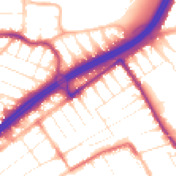
Daytime· 07:00 – 23:00
55.1dB

Night-time· 23:00 – 07:00
45.8dB