31 Nortoft Road, Bournemouth, BH8 8QA
About 31 Nortoft Road
31 Nortoft Road is a two-bedroom semi-detached house in Bournemouth (BH8 8QA). It has a recorded floor area of 87 m² (around 932 sq ft), construction records dating it to before 1900 and council tax band C. The latest certificate (June 2009) shows a D (score 62), on the cusp of jumping into the C band. The recommended improvements would push it to C (score 77). The latest certificate is from June 2009, so improvements made since then won't be reflected.
Last changed hands 13 years ago, in November 2013. Across the public record there are 5 sales, relatively high churn for a single property. Across 2000–2013, sale prices on this property compounded at 9% per year. Today's modelled estimate of £309,000 is 40.5% above the 2013 sale price.
What this property has
Inside
- Bedrooms2
Everything you need to know about 31 Nortoft Road
The true value, the hidden risks and the full sale history, in one report.
Pick your report · every report is £14.99
One time fee only - money back guarantee

The data behind every report


Energy performance
31 Nortoft Road's EPC is over a decade old — improvements since won't be reflected.
EPC Expired
This certificate is over 10 years old and is no longer valid.Expired 10 Jun 2019
EPC Rating
Get a survey for this property
Level 3 Building Survey
Because the property was built before 1919, we believe a Level 3 building survey should be considered.
From £955 · Includes VAT
Planning history
31 Nortoft Road has no planning applications on record.
But the area is active
34 notable applications nearby — larger schemes and conversions that could reshape the street. The report maps them all.
Sales history & valuation
Sale price has grown by over 3x since 2000.
£309,000
Modelled from EPC, postcode comparables and a sale-price growth of 9.0% per year over 13 years.
£220,000
Growth on file: 9.0% per year over 13 years.
Sales timeline
8 November 2013Most recent
£220,000
+10.3%over 4 years23 August 2009
£199,500
+10.8%over 4 years16 June 2005
£180,000
+80.1%over 4 years14 February 2001
£99,950
+38.8%15 December 2000
£72,000
Median price across the last 5 sales in BH8 8QA: £368,500 (2025–2022).
Nearby sales in BH8 8QA
Versus other Nortoft Road homes
Price per m²
£2,542
Street avg £3,132
Floor Area
87 m²
Street avg 84 m²
Habitable Rooms
4 rooms
Street avg 4 rooms
CO₂ Emissions
3.9 t/year
Street avg 4.3 t/year
Everything you need to know about 31 Nortoft Road
The true value, the hidden risks and the full sale history, in one report.
Pick your report · every report is £14.99
One time fee only - money back guarantee
The data behind every report
Similar properties nearby
1 Capstone Gardens
BH8 8RU
1 Portchester Road
BH8 8JT
1 Bennett Road
BH8 8QF
1 Orcheston Road
BH8 8SP
1 Chelsea Gardens
BH8 8EL
1 Wessex Gate, Malmesbury Park Road
BH8 8PD
1 Avon Walk 86a, Avon Road
BH8 8SF
1 St Leonards Road
BH8 8QH
The neighbourhood at a glance
Rail-style transport is unusually close for this postcode.
Crime
14/mo
Steady year-on-year across the wider district.
Nearest stop
0.2 km
St Andrews Church — bus stop.
Closest school
0.3 km
Malmesbury Park Primary School. 25 schools nearby.
Go deeper on the local area
A Local Area report breaks down crime, transport links, schools and air quality in depth.
Road noise across the postcode
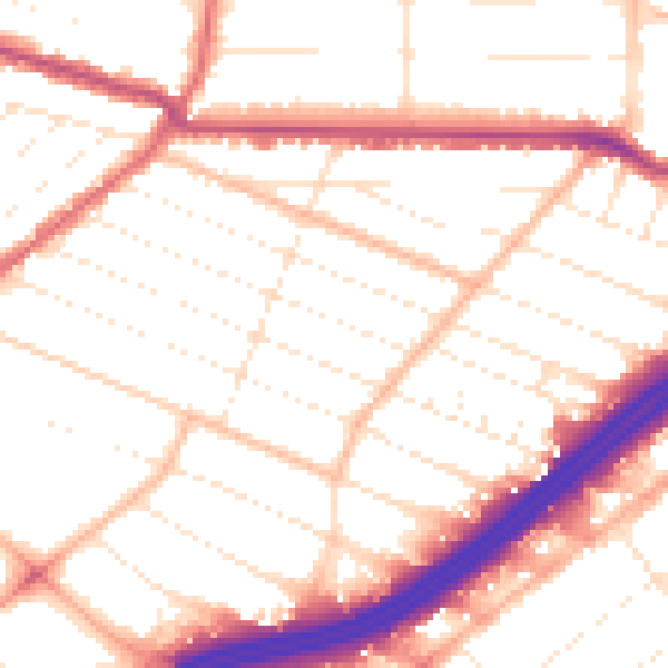
Daytime· 07:00 – 23:00
52.4dB
Night-time· 23:00 – 07:00
42.8dB