11 Nortoft Road, Bournemouth, BH8 8QA
About 11 Nortoft Road
11 Nortoft Road is a three-bedroom semi-detached house in Bournemouth (BH8 8QA). It has a recorded floor area of 95 m² (around 1023 sq ft), construction records dating it to 1900-1929 and council tax band C. The latest certificate (May 2025) shows a D (score 59), a step below the typical UK home. The recommended improvements would push it to C (score 78). Period features are noted in the property record.
It changed hands recently, sold September 2025 for £368,500. At 95 m² it's 21.8% larger than the typical home in the postcode (78 m² median across 31 EPCs). Across 1996–2025, sale prices on this property compounded at 6.7% per year. On a £-per-square-foot basis, the last sale (£360/sq ft) was about 73.7% above the typical sold price in the postcode.
What this property has
Inside
- Bedrooms3
- Bathrooms1
- Dining roomYes
Outside
- Private gardenSouth-facing
- DrivewayYes
Building
- Central heatingYes
- Period featuresYes
Everything you need to know about 11 Nortoft Road
The true value, the hidden risks and the full sale history, in one report.
Pick your report · every report is £14.99
One time fee only - money back guarantee

The data behind every report


Energy performance
EPC Rating
Get a survey for this property
Level 3 Building Survey
Because the property was built before 1919, we believe a Level 3 building survey should be considered.
From £955 · Includes VAT
Planning history
11 Nortoft Road has no planning applications on record.
But the area is active
34 notable applications nearby — larger schemes and conversions that could reshape the street. The report maps them all.
Sales history & valuation
Price for 11 Nortoft Road has grown more than fourfold since the 1996 starting point.
£354,000
Modelled from EPC, postcode comparables and a sale-price growth of 6.7% per year over 29 years.
£368,500
Growth on file: 6.7% per year over 29 years.
Sales timeline
11 September 2025Most recent
£368,500
+197.2%over 23 years13 September 2001
£124,000
+129.6%over 5 years29 March 1996
£54,000
Median price across the last 5 sales in BH8 8QA: £345,000 (2024–2021).
Nearby sales in BH8 8QA
Versus other Nortoft Road homes
Years Held for 11 Nortoft Road lags the street by a wide margin.
Price per m²
£3,879
Street avg £3,065
Floor Area
95 m²
Street avg 84 m²
Habitable Rooms
4 rooms
Street avg 4 rooms
CO₂ Emissions
4.6 t/year
Street avg 4.3 t/year
Everything you need to know about 11 Nortoft Road
The true value, the hidden risks and the full sale history, in one report.
Pick your report · every report is £14.99
One time fee only - money back guarantee
The data behind every report
Similar properties nearby
The neighbourhood at a glance
Rail-style transport is unusually close for this postcode.
Crime
14/mo
Steady year-on-year across the wider district.
Nearest stop
0.2 km
St Andrews Church — bus stop.
Closest school
0.3 km
Malmesbury Park Primary School. 25 schools nearby.
Go deeper on the local area
A Local Area report breaks down crime, transport links, schools and air quality in depth.
Road noise across the postcode
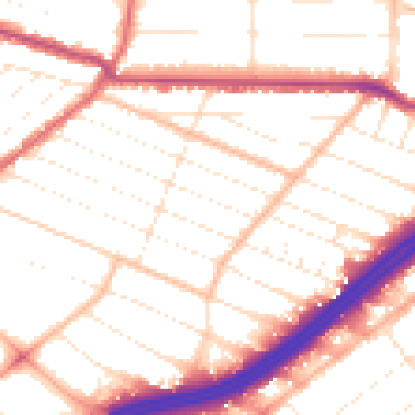
Daytime· 07:00 – 23:00
52.4dB
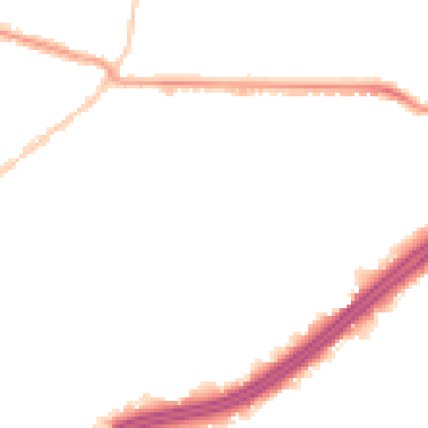
Night-time· 23:00 – 07:00
42.8dB