11 Ampfield Road, Bournemouth, BH8 0ES
About 11 Ampfield Road
11 Ampfield Road is a four-bedroom semi-detached house in Bournemouth (BH8 0ES). It has a recorded floor area of 89 m² (around 958 sq ft), construction records dating it to 1976-1982 and council tax band C. The latest certificate (March 2025) shows a C (score 70). When first surveyed in November 2012 the rating was D, the property has climbed 1 band since. Between certificates, wall efficiency went from Average to Good, roof efficiency went from Average to Good and lighting went from Poor to Very Good. The recommended improvements would push it to B (score 85).
Across 2000–2013, sale prices on this property compounded at 5.8% per year. Today's modelled estimate of £344,000 sits 77.3% above the 2013 sale of £194,000. 13 years since the last transfer (April 2013).
What this property has
Inside
- Bedrooms4
- Dining roomYes
Outside
- Private gardenYes
- ParkingOff road
Building
- RefurbishedYes
Everything you need to know about 11 Ampfield Road
The true value, the hidden risks and the full sale history, in one report.
Pick your report · every report is £14.99
One time fee only - money back guarantee

The data behind every report


Energy performance
EPC Rating
Property Improvements
Changes detected from historical EPC data
Hot water system changed
Hot water system upgraded
Wall insulation upgraded
Roof insulation improved
More low energy lighting installed
Get a survey for this property
Level 2 HomeBuyer Report
We've checked 10 risk factors against the available data for this property and believe a Level 2 HomeBuyer Report could be a suitable option for you.
From £595 · Includes VAT
Planning history
11 Ampfield Road has no planning applications on record.
A planning report still maps activity across the surrounding area and reads this property's extension & conversion potential.
Sales history & valuation
Sale price has at least doubled since 2000.
£344,000
Modelled from EPC, postcode comparables and a sale-price growth of 5.8% per year over 13 years.
£194,000
Growth on file: 5.8% per year over 13 years.
Sales timeline
7 April 2013Most recent
£194,000
+6.3%over 7 years7 March 2006
£182,500
+96.3%over 5 years19 April 2000
£92,950
Median price across the last 5 sales in BH8 0ES: £317,000 (2023–2019).
Nearby sales in BH8 0ES
Versus other Ampfield Road homes
On price per m², 11 Ampfield Road runs well behind the street norm.
Price per m²
£2,180
Street avg £2,851
Floor Area
89 m²
Street avg 91 m²
Habitable Rooms
6 rooms
Street avg 5 rooms
CO₂ Emissions
3.0 t/year
Street avg 3.6 t/year
Everything you need to know about 11 Ampfield Road
The true value, the hidden risks and the full sale history, in one report.
Pick your report · every report is £14.99
One time fee only - money back guarantee
The data behind every report
Similar properties nearby
1 Ashstead Gardens
BH8 0EQ
1 Diamond Place
BH8 0FA
1 Belmont Avenue
BH8 0AN
1 Barrowgate Way
BH8 0HD
1 Braishfield Gardens
BH8 0QA
1 Calmore Close
BH8 0NN
1 Culford Close
BH8 0HX
1 Chesilbourne Grove
BH8 0BA
The neighbourhood at a glance
Daytime road noise here sits well below conversation level — a quiet pocket of the postcode.
Crime
14/mo
Steady year-on-year across the wider district.
Nearest stop
0.2 km
Hungerford Road — bus stop.
Closest school
0.3 km
Muscliff Primary School. 17 schools nearby.
Go deeper on the local area
A Local Area report breaks down crime, transport links, schools and air quality in depth.
Road noise across the postcode
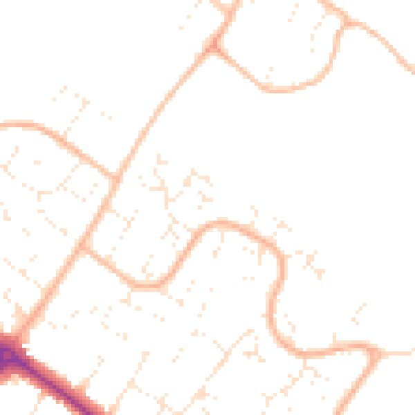
Daytime· 07:00 – 23:00
47.5dB

Night-time· 23:00 – 07:00
37.5dB