34 Harbeck Road, Bournemouth, BH8 0AQ
About 34 Harbeck Road
34 Harbeck Road is a detached house in Bournemouth (BH8 0AQ). It has a recorded floor area of 127 m² (around 1367 sq ft), construction records dating it to 1950-1966 and council tax band C. The latest certificate (October 2025) shows a C (score 70).
Held since September 2002 — that's 24 years off the open market, well above the local norm. At 127 m² the property is well over the postcode median (78 m² across 11 EPCs), placing it in the larger end of the local stock. Today's modelled estimate of £417,000 sits 421.3% above the 2002 sale of £80,000. On a £-per-square-foot basis, the last sale (£59/sq ft) was about 82.5% below the postcode norm.
Everything you need to know about 34 Harbeck Road
The true value, the hidden risks and the full sale history, in one report.
Pick your report · every report is £14.99
One time fee only - money back guarantee

The data behind every report


Energy performance
EPC Rating
Get a survey for this property
Level 2 HomeBuyer Report
We've checked 10 risk factors against the available data for this property and believe a Level 2 HomeBuyer Report could be a suitable option for you.
From £695 · Includes VAT
Planning history
34 Harbeck Road has no planning applications on record.
A planning report still maps activity across the surrounding area and reads this property's extension & conversion potential.
Sales history & valuation
34 Harbeck Road's modelled value sits at over four times its earliest registered sale price (2002).
£417,000
Modelled from EPC, postcode comparables.
£80,000
Recorded with HM Land Registry.
Sales timeline
22 September 2002Most recent
£80,000
Median price across the last 5 sales in BH8 0AQ: £345,000 (2025–2020).
Nearby sales in BH8 0AQ
Versus other Harbeck Road homes
34 Harbeck Road is notably below the street on price per m².
Price per m²
£630
Street avg £4,006
Floor Area
127 m²
Street avg 83 m²
Habitable Rooms
5 rooms
Street avg 4 rooms
CO₂ Emissions
3.9 t/year
Street avg 3.7 t/year
Everything you need to know about 34 Harbeck Road
The true value, the hidden risks and the full sale history, in one report.
Pick your report · every report is £14.99
One time fee only - money back guarantee
The data behind every report
Similar properties nearby
The neighbourhood at a glance
Daytime road noise here sits well below conversation level — a quiet pocket of the postcode.
Crime
14/mo
Steady year-on-year across the wider district.
Nearest stop
0.1 km
Harbeck Road — bus stop.
Closest school
0.2 km
Muscliff Primary School. 20 schools nearby.
Go deeper on the local area
A Local Area report breaks down crime, transport links, schools and air quality in depth.
Road noise across the postcode
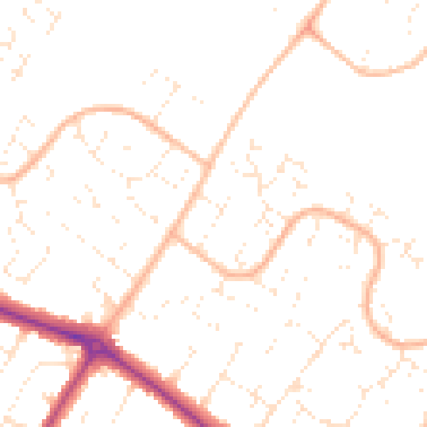
Daytime· 07:00 – 23:00
48.9dB

Night-time· 23:00 – 07:00
38.5dB