20 Belmont Avenue, Bournemouth, BH8 0AN
About 20 Belmont Avenue
20 Belmont Avenue is a detached house in Bournemouth (BH8 0AN). It has a recorded floor area of 133 m² (around 1432 sq ft), construction records dating it to 1976-1982 and council tax band E. The latest certificate (March 2014) shows a D (score 61), on the cusp of jumping into the C band. Earlier certificates rated it C (September 2009); the latest reading is one band lower. Between certificates, lighting went from Poor to Very Good; while wall efficiency dropped from Good to Average and roof efficiency dropped from Good to Average. The recommended improvements would lift it to B (score 81), a 2-band jump. The latest certificate is from March 2014, so improvements made since then won't be reflected.
Across 2002–2012, sale prices on this property compounded at 1.6% per year. Today's modelled estimate of £477,000 sits 65.1% above the 2012 sale of £289,000. At 133 m² it's 16.9% larger than the typical home in the postcode (114 m² median across 29 EPCs). Last changed hands 14 years ago, in April 2012.
Everything you need to know about 20 Belmont Avenue
The true value, the hidden risks and the full sale history, in one report.
Pick your report · every report is £14.99
One time fee only - money back guarantee

The data behind every report


Energy performance
Recommended upgrades on file would lift this property by multiple EPC bands.
EPC Expired
This certificate is over 10 years old and is no longer valid.Expired 12 Mar 2024
EPC Rating
Property Improvements
Changes detected from historical EPC data
More low energy lighting installed
Get a survey for this property
Level 2 HomeBuyer Report
We've checked 10 risk factors against the available data for this property and believe a Level 2 HomeBuyer Report could be a suitable option for you.
From £695 · Includes VAT
Planning history
20 Belmont Avenue has no planning applications on record.
A planning report still maps activity across the surrounding area and reads this property's extension & conversion potential.
Sales history & valuation
20 Belmont Avenue valuation sits well clear of the typical sold price in this postcode.
£477,000
Modelled from EPC, postcode comparables and a sale-price growth of 1.6% per year over 9 years.
£289,000
Growth on file: 1.6% per year over 9 years.
Sales timeline
26 April 2012Most recent
£289,000
+15.6%over 9 years18 December 2002
£250,000
Median price across the last 5 sales in BH8 0AN: £480,000 (2025–2021).
Nearby sales in BH8 0AN
45 Belmont Avenue, Bournemouth, BH8 0AN
Sold Jan 2025
£382,50022 Belmont Avenue, Bournemouth, BH8 0AN
Sold Feb 2024
£480,0002 Belmont Avenue, Bournemouth, BH8 0AN
Sold Oct 2022
£590,00012 Belmont Avenue, Bournemouth, BH8 0AN
Sold May 2022
£455,8002a, Belmont Avenue, Bournemouth, BH8 0AN
Sold Sept 2021
£550,000
Versus other Belmont Avenue homes
20 Belmont Avenue is notably below the street on price per m².
Price per m²
£2,173
Street avg £3,265
Floor Area
133 m²
Street avg 116 m²
Habitable Rooms
6 rooms
Street avg 5 rooms
CO₂ Emissions
5.4 t/year
Street avg 3.9 t/year
Everything you need to know about 20 Belmont Avenue
The true value, the hidden risks and the full sale history, in one report.
Pick your report · every report is £14.99
One time fee only - money back guarantee
The data behind every report
Similar properties nearby
The neighbourhood at a glance
Crime
14/mo
Steady year-on-year across the wider district.
Nearest stop
0.2 km
Mill Road — bus stop.
Closest school
0.4 km
Bournemouth School for Girls. 22 schools nearby.
Go deeper on the local area
A Local Area report breaks down crime, transport links, schools and air quality in depth.
Road noise across the postcode
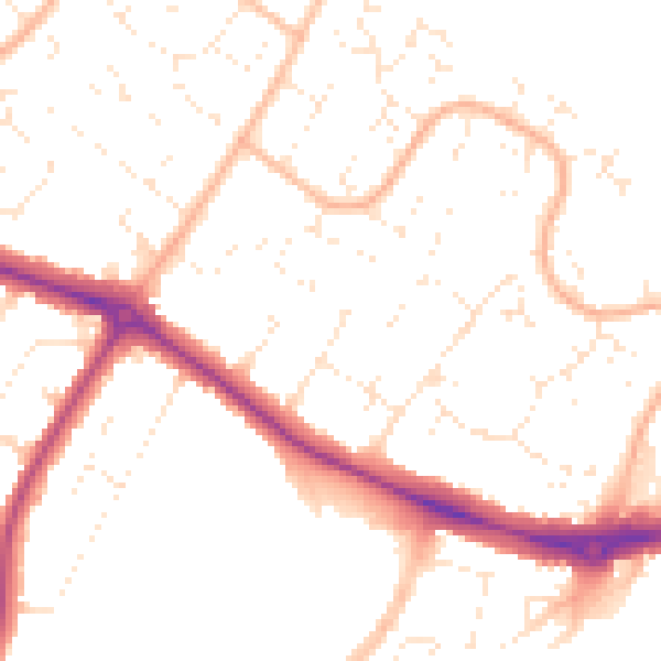
Daytime· 07:00 – 23:00
50.4dB

Night-time· 23:00 – 07:00
40.3dB