18 Belmont Avenue, Bournemouth, BH8 0AN
About 18 Belmont Avenue
18 Belmont Avenue is a detached house in Bournemouth (BH8 0AN). It has a recorded floor area of 121 m² (around 1304 sq ft), construction records dating it to 2003-2006 and council tax band E. The latest certificate (June 2009) shows a C (score 74). The latest certificate is from June 2009, so improvements made since then won't be reflected.
Untraded for 16 years, with the last transfer in January 2010. Across 2004–2010, sale prices on this property compounded at 14% per year. Today's modelled estimate of £447,000 is 49% above the 2010 sale price.
Everything you need to know about 18 Belmont Avenue
The true value, the hidden risks and the full sale history, in one report.
Pick your report · every report is £14.99
One time fee only - money back guarantee

The data behind every report


Energy performance
18 Belmont Avenue's EPC is over a decade old — improvements since won't be reflected.
EPC Expired
This certificate is over 10 years old and is no longer valid.Expired 30 Jun 2019
EPC Rating
Get a survey for this property
Level 2 HomeBuyer Report
We've checked 10 risk factors against the available data for this property and believe a Level 2 HomeBuyer Report could be a suitable option for you.
From £695 · Includes VAT
Planning history
18 Belmont Avenue has no planning applications on record.
A planning report still maps activity across the surrounding area and reads this property's extension & conversion potential.
Sales history & valuation
18 Belmont Avenue has more than doubled in price since the earliest registered sale in 2004.
£447,000
Modelled from EPC, postcode comparables and a sale-price growth of 14.0% per year over 6 years.
£300,000
Growth on file: 14.0% per year over 6 years.
Sales timeline
15 January 2010Most recent
£300,000
+2.4%over 3 years21 March 2006
£293,000
+102.1%over 1 year29 June 2004
£145,000
Median price across the last 5 sales in BH8 0AN: £480,000 (2025–2021).
Nearby sales in BH8 0AN
45 Belmont Avenue, Bournemouth, BH8 0AN
Sold Jan 2025
£382,50022 Belmont Avenue, Bournemouth, BH8 0AN
Sold Feb 2024
£480,0002 Belmont Avenue, Bournemouth, BH8 0AN
Sold Oct 2022
£590,00012 Belmont Avenue, Bournemouth, BH8 0AN
Sold May 2022
£455,8002a, Belmont Avenue, Bournemouth, BH8 0AN
Sold Sept 2021
£550,000
Versus other Belmont Avenue homes
On price per m², 18 Belmont Avenue runs well behind the street norm.
Price per m²
£2,476
Street avg £3,254
Floor Area
121 m²
Street avg 116 m²
Habitable Rooms
6 rooms
Street avg 5 rooms
CO₂ Emissions
3.2 t/year
Street avg 4.0 t/year
Everything you need to know about 18 Belmont Avenue
The true value, the hidden risks and the full sale history, in one report.
Pick your report · every report is £14.99
One time fee only - money back guarantee
The data behind every report
Similar properties nearby
The neighbourhood at a glance
Crime
14/mo
Steady year-on-year across the wider district.
Nearest stop
0.2 km
Mill Road — bus stop.
Closest school
0.4 km
Bournemouth School for Girls. 22 schools nearby.
Go deeper on the local area
A Local Area report breaks down crime, transport links, schools and air quality in depth.
Road noise across the postcode
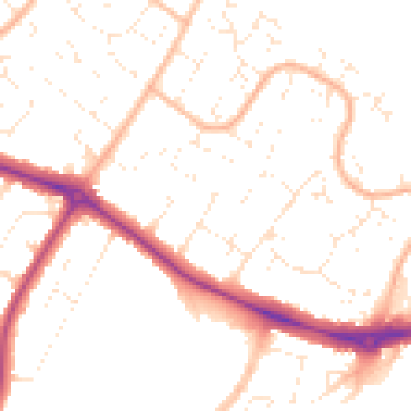
Daytime· 07:00 – 23:00
50.4dB

Night-time· 23:00 – 07:00
40.3dB