11b, Roumelia Lane, Bournemouth, BH5 1EU
About 11b
11b is an end-of-terrace house in Bournemouth (BH5 1EU). It has a recorded floor area of 43 m² (around 463 sq ft), construction records dating it to 1996-2002 and council tax band A. The latest certificate (February 2025) shows a C (score 78), near the top of the C band. When first surveyed in January 2010 the rating was D, the property has climbed 1 band since. Between certificates, hot-water efficiency dropped from Average to Poor and main heating dropped from Poor to Very Poor. Main heating runs on electricity.
Everything you need to know about 11b
The true value, the hidden risks and the full sale history, in one report.
Pick your report · every report is £14.99
One time fee only - money back guarantee

The data behind every report


Energy performance
EPC Rating
Property Improvements
Changes detected from historical EPC data
Replaced storage heaters with gas boiler
Heating controls upgraded for better temperature management
Hot water system changed
Low energy lighting percentage decreased
Heating system changed
Heating controls changed
Hot water system upgraded
Cavity wall insulation installed
More low energy lighting installed
Replaced storage heaters with gas boiler
Connected to mains gas supply
Heating controls upgraded for better temperature management
Hot water system upgraded
Changed to a more efficient fuel source
Hot water efficiency decreased
Get a survey for this property
Level 3 Building Survey
Because the property has no mains gas supply, we believe a Level 3 building survey should be considered.
From £820 · Includes VAT
Planning history
11b has no planning applications on record.
But the area is active
5 notable applications nearby — larger schemes and conversions that could reshape the street. The report maps them all.
Sales history & valuation
11b has no Land Registry sales on file, suggesting it has stayed in the same hands since registration began.
£128,000
Modelled from EPC, postcode comparables.
No sales recorded with HM Land Registry
That can mean the property has never traded since the registry began publishing in 1995, was a new build that hasn't been registered yet, or is held in the same hands long-term.
Median price across the last 4 sales in BH5 1EU: £118,750 (2013–2000).
Versus other Roumelia Lane homes
CO₂ Emissions for 11b lags the street by a wide margin.
EPC Rating
78 (C)
Street avg 76 (C)
Floor Area
43 m²
Street avg 46 m²
CO₂ Emissions
1.6 t/year
Street avg 1.4 t/year
Habitable Rooms
2 rooms
Street avg 2 rooms
Everything you need to know about 11b
The true value, the hidden risks and the full sale history, in one report.
Pick your report · every report is £14.99
One time fee only - money back guarantee
The data behind every report
Similar properties nearby
The neighbourhood at a glance
Reported crime in the wider district is trending notably upward year-on-year.
Crime
6/mo
Rising year-on-year across the wider district.
Nearest stop
0.1 km
Palmerston Road — bus stop.
Closest school
0.6 km
St Clement's and St John's Church of England Infant School. 19 schools nearby.
Go deeper on the local area
A Local Area report breaks down crime, transport links, schools and air quality in depth.
Road noise across the postcode
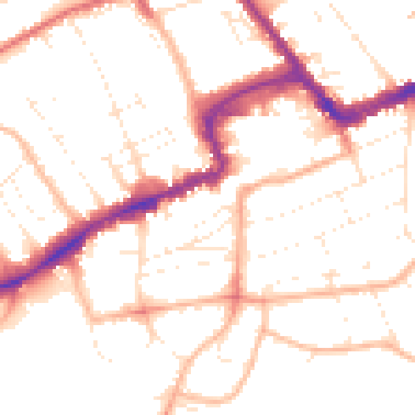
Daytime· 07:00 – 23:00
51.2dB

Night-time· 23:00 – 07:00
41.3dB