13 Marnhull Road, Poole, BH15 2EX
About 13 Marnhull Road
13 Marnhull Road is a four-bedroom semi-detached house in Poole (BH15 2EX). It has a recorded floor area of 109 m² (around 1173 sq ft), construction records dating it to 1930-1949 and council tax band C. Tenure is freehold. The latest certificate (January 2024) shows a D (score 68), on the cusp of jumping into the C band. The rating has held steady at D across 2 certificates since October 2011. Between certificates, roof efficiency went from Average to Good; while wall efficiency dropped from Good to Average. The recommended improvements would lift it to B (score 83), a 2-band jump.
Across 1995–2024, sale prices on this property compounded at 8.1% per year. On a £-per-square-foot basis, the last sale (£330/sq ft) was about 54.8% above the typical sold price in the postcode. Sold May 2024 for £387,000.
Know exactly what you're buying at 13 Marnhull Road
Before you offer, see what the listing won't tell you, the true value, the red flags and the full history.
Already flagged here
Valuation
against the asking price
Risks
planning & flood
Sold prices
similar homes nearby
Trends
the local market
What this property has
Inside
- Bedrooms4
- Bathrooms1
- Dining roomYes
Outside
- Private gardenRear
- DrivewayYes
Building
- TenureFreehold
- RefurbishedYes
Energy performance
Recommended upgrades on file would lift this property by multiple EPC bands.
EPC Rating
Property Improvements
Changes detected from historical EPC data
Roof insulation improved
Planning history
13 Marnhull Road has no planning applications on record.
Notable planning nearby
33applications of note in the surrounding area
We flagged 2 things worth checking at 13 Marnhull Road
Independent checks surfaced things a buyer would want to understand before offering. The report explains each one in full, with the underlying data and what to ask.
- Signs of HMO activity in the area
- Larger development activity nearby
30-day money-back guarantee
Sales history & valuation
Latest sale on 13 Marnhull Road was the highest on Land Registry record across the postcode.
£407,000
Modelled from EPC, postcode comparables and a sale-price growth of 8.1% per year over 29 years.
£387,000
Growth on file: 8.1% per year over 29 years.
Sales timeline
2 May 2024Most recent
£387,000
+29.0%over 5 years31 March 2019
£300,000
+400.0%over 23 years25 May 1995
£60,000
+50.0%12 January 1995
£40,000
Median price across the last 5 sales in BH15 2EX: £275,000 (2024–2015).
Everything we know about 13 Marnhull Road, in one report
What it's really worth, what could be wrong, and the planning, sales and area data in full.
What we flagged
- Signs of HMO activity in the area
- Larger development activity nearby

Versus other Marnhull Road homes
On years held, 13 Marnhull Road runs well behind the street norm.
Price per m²
£3,550
Street avg £2,515
Floor Area
109 m²
Street avg 97 m²
Habitable Rooms
6 rooms
Street avg 5 rooms
CO₂ Emissions
3.8 t/year
Street avg 4.0 t/year
Similar properties nearby
1 Churchfield Road
BH15 2QL
1 Jolliffe Road
BH15 2EY
1 Seliot Close
BH15 2HQ
1 Heckford Road
BH15 2LY
1 Houlton Road
BH15 2LN
1 Charles Road
BH15 2LZ
1 Denmark Road
BH15 2DB
1 Corfe Mews, 12 Kingston Road
BH15 2LP
The neighbourhood at a glance
Crime
6/mo
Steady year-on-year across the wider district.
Nearest stop
0.2 km
Sandbourne Road — bus stop.
Closest school
0.2 km
Longfleet Church of England Primary School. 23 schools nearby.
Go deeper on the local area
The full report breaks down crime, transport links, schools and air quality in depth.
Road noise across the postcode
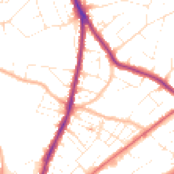
Daytime· 07:00 – 23:00
51.0dB

Night-time· 23:00 – 07:00
42.0dB