45 Palmerston Road, Parkstone, Poole, BH14 9HQ
About 45 Palmerston Road
45 Palmerston Road is a three-bedroom property in Parkstone, Poole, Poole (BH14 9HQ). It has council tax band C. Period features are noted in the property record.
It hasn't traded since June 2003, a hold of 23 years that's notably long for the area. Across 1999–2003, sale prices on this property compounded at 21.8% per year.
What this property has
Inside
- Bedrooms3
- Bathrooms1
- Dining roomYes
- FireplaceYes
Outside
- Private gardenYes
Building
- Period featuresYes
Everything you need to know about 45 Palmerston Road
The true value, the hidden risks and the full sale history, in one report.
Pick your report · every report is £14.99
One time fee only - money back guarantee

The data behind every report


Energy performance
No EPC on record
This property doesn't have an Energy Performance Certificate yet. An EPC is required to sell or let — and unlocks our automated valuation.
Get a survey for this property
Level 2 HomeBuyer Report
We've checked 10 risk factors against the available data for this property and believe a Level 2 HomeBuyer Report could be a suitable option for you.
Planning history
45 Palmerston Road has no planning applications on record.
But the area is active
26 notable applications nearby — larger schemes and conversions that could reshape the street. The report maps them all.
Sales history & valuation
Sale price has at least doubled since 1999.
£215,000
Growth on file: 21.8% per year over 4 years.
Sales timeline
12 June 2003Most recent
£215,000
+115.0%over 3 years25 July 1999
£100,000
Median price across the last 5 sales in BH14 9HQ: £387,500 (2025–2021).
Nearby sales in BH14 9HQ
37 Palmerston Road, Parkstone, Poole, BH14 9HQ
Sold Mar 2025
£550,00055 Palmerston Road, Parkstone, Poole, BH14 9HQ
Sold Jan 2023
£387,50085 Palmerston Road, Parkstone, Poole, BH14 9HQ
Sold Sept 2022
£675,00033 Palmerston Road, Parkstone, Poole, BH14 9HQ
Sold Apr 2021
£300,00071 Palmerston Road, Parkstone, Poole, BH14 9HQ
Sold Mar 2021
£347,500
Everything you need to know about 45 Palmerston Road
The true value, the hidden risks and the full sale history, in one report.
Pick your report · every report is £14.99
One time fee only - money back guarantee
The data behind every report
Similar properties nearby
The neighbourhood at a glance
Crime
2/mo
Steady year-on-year across the wider district.
Nearest stop
0.2 km
Hardy Road — bus stop.
Closest school
0.2 km
Courthill Infant School. 16 schools nearby.
Go deeper on the local area
A Local Area report breaks down crime, transport links, schools and air quality in depth.
Road noise across the postcode
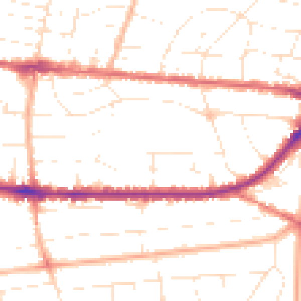
Daytime· 07:00 – 23:00
50.0dB

Night-time· 23:00 – 07:00
39.9dB