2 Calder Avenue, Nether Poppleton, York, YO26 6RG
About 2 Calder Avenue
2 Calder Avenue is a property in Nether Poppleton, York, York (YO26 6RG). It has council tax band C.
It hasn't traded since March 1999, a hold of 27 years that's notably long for the area. Only one transfer is on record with HM Land Registry, suggesting it has stayed in the same hands for a long time.
Everything you need to know about 2 Calder Avenue
The true value, the hidden risks and the full sale history, in one report.
30-day money-back guarantee

The data behind every report


Energy performance
No EPC on record
This property doesn't have an Energy Performance Certificate yet. An EPC is required to sell or let — and unlocks our automated valuation.
Planning history
2 Calder Avenue has no planning applications on record.
Notable planning nearby
5applications of note in the surrounding area
We flagged 1 thing worth checking at 2 Calder Avenue
Independent checks surfaced things a buyer would want to understand before offering. The report explains each one in full, with the underlying data and what to ask.
- Larger development activity nearby
30-day money-back guarantee
Sales history & valuation
2 Calder Avenue has been held in the same hands since before 2000.
£76,450
Recorded with HM Land Registry.
Sales timeline
1 March 1999Most recent
£76,450
Median price across the last 5 sales in YO26 6RG: £400,000 (2025–2023).
Nearby sales in YO26 6RG
22 Calder Avenue, Nether Poppleton, York, YO26 6RG
Sold Oct 2025
£300,0009 Calder Avenue, Nether Poppleton, York, YO26 6RG
Sold Jul 2024
£422,50010 Calder Avenue, Nether Poppleton, York, YO26 6RG
Sold Jun 2024
£415,00033 Calder Avenue, Nether Poppleton, York, YO26 6RG
Sold Jan 2024
£320,50019 Calder Avenue, Nether Poppleton, York, YO26 6RG
Sold Dec 2023
£400,000
Everything you need to know about 2 Calder Avenue
The true value, the hidden risks and the full sale history, in one report.
30-day money-back guarantee
The data behind every report
Similar properties nearby
1 Allerton Drive, Upper Poppleton
YO26 6JH
1 Apple Garth, Upper Poppleton
YO26 6HQ
1 Bankside Close, Upper Poppleton
YO26 6LH
1 Beech Grove, Upper Poppleton
YO26 6DS
1 Beech Way, Upper Poppleton
YO26 6JD
1 Black Dykes Lane, Upper Poppleton
YO26 6PT
1 Brackenhills, Upper Poppleton
YO26 6DH
1 Bunny Chase, Nether Poppleton
YO26 6BJ
The neighbourhood at a glance
Rail-style transport is unusually close for this postcode.
Crime
4/mo
Steady year-on-year across the wider district.
Nearest stop
0.1 km
Kyle Way — bus stop.
Closest school
0.3 km
Manor Church of England Academy. 13 schools nearby.
Go deeper on the local area
The full report breaks down crime, transport links, schools and air quality in depth.
Road noise across the postcode
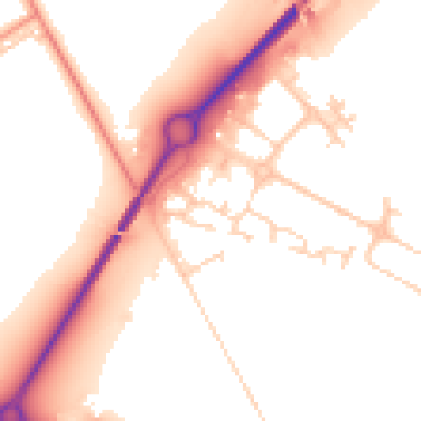
Daytime· 07:00 – 23:00
53.1dB

Night-time· 23:00 – 07:00
45.4dB