30 Sandy Lane, Bushbury, Wolverhampton, WV10 8JN
About 30 Sandy Lane
30 Sandy Lane is a property in Bushbury, Wolverhampton, Wolverhampton (WV10 8JN). It has council tax band B.
Held since December 2003 — that's 22 years off the open market, well above the local norm. Across 1999–2003, sale prices on this property compounded at 17.2% per year.
Everything you need to know about 30 Sandy Lane
The true value, the hidden risks and the full sale history, in one report.
Pick your report · every report is £14.99
One time fee only - money back guarantee

The data behind every report


Energy performance
No EPC on record
This property doesn't have an Energy Performance Certificate yet. An EPC is required to sell or let — and unlocks our automated valuation.
Get a survey for this property
Level 2 HomeBuyer Report
We've checked 10 risk factors against the available data for this property and believe a Level 2 HomeBuyer Report could be a suitable option for you.
Planning history
30 Sandy Lane has no planning applications on record.
A planning report still maps activity across the surrounding area and reads this property's extension & conversion potential.
Sales history & valuation
30 Sandy Lane has more than doubled in price since the earliest registered sale in 1999.
£99,000
Growth on file: 17.2% per year over 5 years.
Sales timeline
29 December 2003Most recent
£99,000
+110.6%over 4 years15 April 1999
£47,000
Median price across the last 5 sales in WV10 8JN: £170,000 (2023–2019).
Nearby sales in WV10 8JN
24 Sandy Lane, Bushbury, Wolverhampton, WV10 8JN
Sold Feb 2023
£165,00026 Sandy Lane, Bushbury, Wolverhampton, WV10 8JN
Sold Feb 2022
£187,50014 Sandy Lane, Bushbury, Wolverhampton, WV10 8JN
Sold Sept 2019
£170,00012 Sandy Lane, Bushbury, Wolverhampton, WV10 8JN
Sold Jun 2019
£190,00028 Sandy Lane, Bushbury, Wolverhampton, WV10 8JN
Sold Jul 2017
£150,000
Everything you need to know about 30 Sandy Lane
The true value, the hidden risks and the full sale history, in one report.
Pick your report · every report is £14.99
One time fee only - money back guarantee
The data behind every report
Similar properties nearby
The neighbourhood at a glance
Daytime road noise here sits well below conversation level — a quiet pocket of the postcode.
Crime
6/mo
Steady year-on-year across the wider district.
Nearest stop
1.7 km
Wood Hayes Road — bus stop.
Closest school
0.4 km
Northwood Park Primary School. 28 schools nearby.
Go deeper on the local area
A Local Area report breaks down crime, transport links, schools and air quality in depth.
Road noise across the postcode
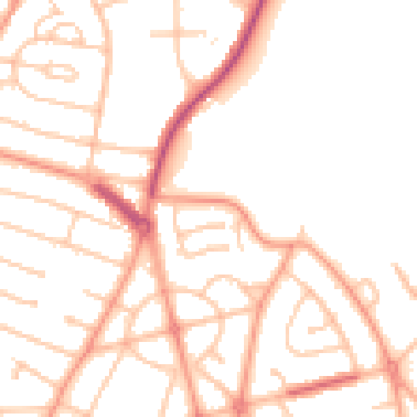
Daytime· 07:00 – 23:00
50.0dB

Night-time· 23:00 – 07:00
39.6dB