6 Egerton Street, Abram, Wigan, WN2 5RW
About 6 Egerton Street
6 Egerton Street is a property in Abram, Wigan, Wigan (WN2 5RW). It has council tax band A.
Last sale on file: £56,000 in June 2020. Across the public record there are 4 sales, relatively high churn for a single property. Across 1999–2020, sale prices on this property compounded at 8% per year.
Everything you need to know about 6 Egerton Street
The true value, the hidden risks and the full sale history, in one report.
Pick your report · every report is £14.99
One time fee only - money back guarantee

The data behind every report


Energy performance
No EPC on record
This property doesn't have an Energy Performance Certificate yet. An EPC is required to sell or let — and unlocks our automated valuation.
Get a survey for this property
Level 2 HomeBuyer Report
We've checked 10 risk factors against the available data for this property and believe a Level 2 HomeBuyer Report could be a suitable option for you.
Planning history
6 Egerton Street has no planning applications on record.
But the area is active
8 notable applications nearby — larger schemes and conversions that could reshape the street. The report maps them all.
Sales history & valuation
Price for 6 Egerton Street has grown more than fourfold since the 1999 starting point.
£56,000
Growth on file: 8.0% per year over 21 years.
Sales timeline
9 June 2020Most recent
£56,000
-17.6%over 13 years1 December 2006
£68,000
+257.9%over 5 years17 July 2001
£19,000
+72.7%over 2 years19 May 1999
£11,000
Median price across the last 5 sales in WN2 5RW: £168,000 (2024–2022).
Nearby sales in WN2 5RW
25 Egerton Street, Abram, Wigan, WN2 5RW
Sold Dec 2024
£168,0005 Egerton Street, Abram, Wigan, WN2 5RW
Sold Nov 2024
£192,0009 Egerton Street, Abram, Wigan, WN2 5RW
Sold Mar 2023
£160,00015 Egerton Street, Abram, Wigan, WN2 5RW
Sold Feb 2023
£186,00011 Egerton Street, Abram, Wigan, WN2 5RW
Sold Nov 2022
£125,000
Everything you need to know about 6 Egerton Street
The true value, the hidden risks and the full sale history, in one report.
Pick your report · every report is £14.99
One time fee only - money back guarantee
The data behind every report
Similar properties nearby
1 Bickershaw Lane, Abram
WN2 5PL
1 Croal Avenue, Platt Bridge
WN2 5EY
1 Aspinall Street, Platt Bridge
WN2 5NR
1 Beech Tree Houses, Bamfurlong
WN2 5LB
1 Crown Wood Court, Bamfurlong
WN2 5LY
1 Bank Street, Platt Bridge
WN2 5BW
1 Ashwood Avenue, Abram
WN2 5YE
1 Brecon Close, Platt Bridge
WN2 5NA
The neighbourhood at a glance
Daytime road noise here sits well below conversation level — a quiet pocket of the postcode.
Nearest stop
0.1 km
Abram Council Offices — bus stop.
Closest school
0.7 km
St John's Church of England Primary School, Abram. 8 schools nearby.
Go deeper on the local area
A Local Area report breaks down crime, transport links, schools and air quality in depth.
Road noise across the postcode
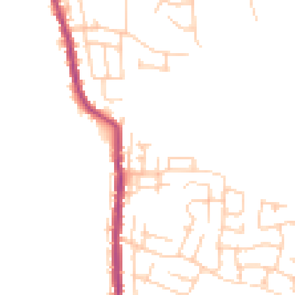
Daytime· 07:00 – 23:00
46.4dB

Night-time· 23:00 – 07:00
38.1dB