1 Aspinall Street, Platt Bridge, Wigan, WN2 5NR
About 1 Aspinall Street
1 Aspinall Street is a detached house in Platt Bridge, Wigan, Wigan (WN2 5NR). It has a recorded floor area of 57 m² (around 614 sq ft) and council tax band A. The latest certificate (September 2013) shows a C (score 76), near the top of the C band. The latest certificate is from September 2013, so improvements made since then won't be reflected.
Everything you need to know about 1 Aspinall Street
The true value, the hidden risks and the full sale history, in one report.
Pick your report · every report is £14.99
One time fee only - money back guarantee

The data behind every report


Energy performance
1 Aspinall Street's EPC is over a decade old — improvements since won't be reflected.
EPC Expired
This certificate is over 10 years old and is no longer valid.Expired 07 Sept 2023
EPC Rating
Get a survey for this property
Level 2 HomeBuyer Report
We've checked 10 risk factors against the available data for this property and believe a Level 2 HomeBuyer Report could be a suitable option for you.
From £495 · Includes VAT
Planning history
1 Aspinall Street has no planning applications on record.
But the area is active
8 notable applications nearby — larger schemes and conversions that could reshape the street. The report maps them all.
Sales history & valuation
1 Aspinall Street has no Land Registry sales on file, suggesting it has stayed in the same hands since registration began.
£132,000
Modelled from EPC, postcode comparables.
No sales recorded with HM Land Registry
That can mean the property has never traded since the registry began publishing in 1995, was a new build that hasn't been registered yet, or is held in the same hands long-term.
Everything you need to know about 1 Aspinall Street
The true value, the hidden risks and the full sale history, in one report.
Pick your report · every report is £14.99
One time fee only - money back guarantee
The data behind every report
Similar properties nearby
1 Bickershaw Lane, Abram
WN2 5PL
1 Croal Avenue, Platt Bridge
WN2 5EY
1 Bank Street, Platt Bridge
WN2 5BW
1 Beech Tree Houses, Bamfurlong
WN2 5LB
1 Crown Wood Court, Bamfurlong
WN2 5LY
1 Brecon Close, Platt Bridge
WN2 5NA
1 Ashwood Avenue, Abram
WN2 5YE
1 Crystal Close, Platt Bridge
WN2 5BT
The neighbourhood at a glance
Nearest stop
0.1 km
Millers Lane — bus stop.
Closest school
0.3 km
Holy Family Catholic Academy. 14 schools nearby.
Go deeper on the local area
A Local Area report breaks down crime, transport links, schools and air quality in depth.
Road noise across the postcode
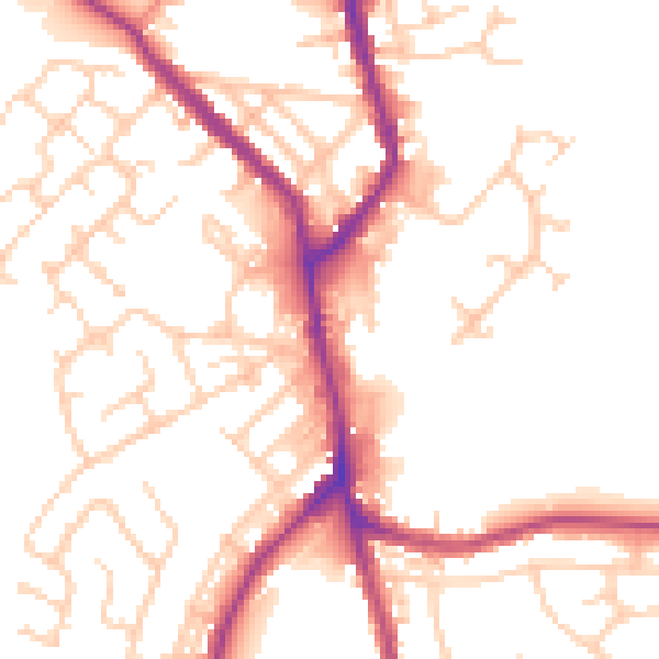
Daytime· 07:00 – 23:00
52.2dB

Night-time· 23:00 – 07:00
42.7dB