12 Brookdale Road, Hindley, Wigan, WN2 4JF
About 12 Brookdale Road
12 Brookdale Road is a semi-detached house in Hindley, Wigan, Wigan (WN2 4JF). It has a recorded floor area of 98 m² (around 1055 sq ft), construction records dating it to 1967-1975 and council tax band B. The latest certificate (December 2024) shows a C (score 74).
At 98 m² the property is well over the postcode median (73 m² across 29 EPCs), placing it in the larger end of the local stock.
Everything you need to know about 12 Brookdale Road
The true value, the hidden risks and the full sale history, in one report.
Pick your report · every report is £14.99
One time fee only - money back guarantee

The data behind every report


Energy performance
EPC Rating
Get a survey for this property
Level 2 HomeBuyer Report
We've checked 10 risk factors against the available data for this property and believe a Level 2 HomeBuyer Report could be a suitable option for you.
From £495 · Includes VAT
Planning history
12 Brookdale Road has no planning applications on record.
But the area is active
3 notable applications nearby — larger schemes and conversions that could reshape the street. The report maps them all.
Sales history & valuation
12 Brookdale Road has no Land Registry sales on file, suggesting it has stayed in the same hands since registration began.
£183,000
Modelled from EPC, postcode comparables.
No sales recorded with HM Land Registry
That can mean the property has never traded since the registry began publishing in 1995, was a new build that hasn't been registered yet, or is held in the same hands long-term.
Median price across the last 5 sales in WN2 4JF: £109,000 (2024–2014).
Nearby sales in WN2 4JF
24 Brookdale Road, Hindley, Wigan, WN2 4JF
Sold Jan 2024
£139,0005 Brookdale Road, Hindley, Wigan, WN2 4JF
Sold Oct 2023
£140,00041 Brookdale Road, Hindley, Wigan, WN2 4JF
Sold Feb 2020
£109,00030 Brookdale Road, Hindley, Wigan, WN2 4JF
Sold Jan 2020
£105,00026 Brookdale Road, Hindley, Wigan, WN2 4JF
Sold May 2014
£64,950
Versus other Brookdale Road homes
On floor area, 12 Brookdale Road stands well clear of the street.
EPC Rating
74 (C)
Street avg 70 (C)
Floor Area
98 m²
Street avg 66 m²
CO₂ Emissions
3.6 t/year
Street avg 2.7 t/year
Habitable Rooms
5 rooms
Street avg 4 rooms
Everything you need to know about 12 Brookdale Road
The true value, the hidden risks and the full sale history, in one report.
Pick your report · every report is £14.99
One time fee only - money back guarantee
The data behind every report
Similar properties nearby
1 Beechfield Avenue, Hindley Green
WN2 4QG
1 Baxters Row, Hindley Green
WN2 4UD
1 Bramblewood, Hindley
WN2 4BF
1 Ashbourne Avenue, Hindley
WN2 4JQ
1 Bedford Gardens, Hindley
WN2 4JT
1 Blair Avenue, Hindley Green
WN2 4HQ
1 Ashley Road, Hindley Green
WN2 4HG
1 Beaumaris Road, Hindley Green
WN2 4NB
The neighbourhood at a glance
Daytime road noise here sits well below conversation level — a quiet pocket of the postcode.
Nearest stop
0.1 km
Claremont Avenue — bus stop.
Closest school
0.3 km
Outwood Academy Hindley. 17 schools nearby.
Go deeper on the local area
A Local Area report breaks down crime, transport links, schools and air quality in depth.
Road noise across the postcode
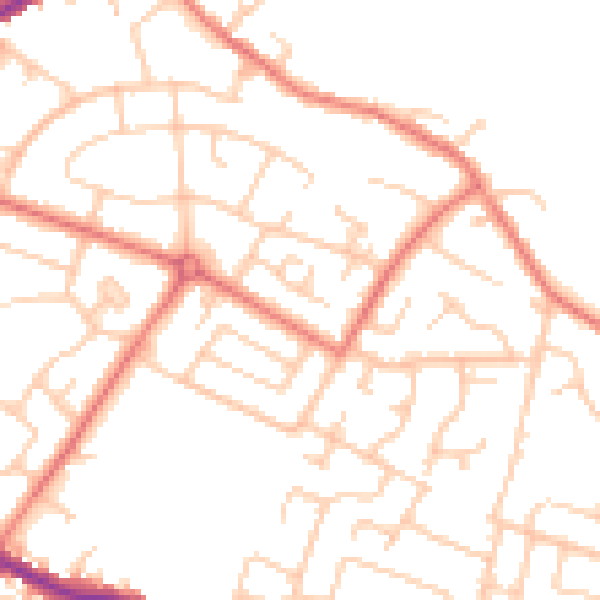
Daytime· 07:00 – 23:00
49.7dB

Night-time· 23:00 – 07:00
38.5dB