3 Coopers Glen, Ince, Wigan, WN2 2EX
About 3 Coopers Glen
3 Coopers Glen is a semi-detached house in Ince, Wigan, Wigan (WN2 2EX). It has a recorded floor area of 75 m² (around 807 sq ft), construction records dating it to 1967-1975 and council tax band B. The latest certificate (August 2020) shows a D (score 67), on the cusp of jumping into the C band. The rating has held steady at D across 4 certificates since April 2010. Between certificates, wall efficiency went from Poor to Average, roof efficiency went from Average to Good and lighting went from Poor to Good. The recommended improvements would lift it to B (score 83), a 2-band jump.
Everything you need to know about 3 Coopers Glen
The true value, the hidden risks and the full sale history, in one report.
Pick your report · every report is £14.99
One time fee only - money back guarantee

The data behind every report


Energy performance
Recommended upgrades on file would lift this property by multiple EPC bands.
EPC Rating
Property Improvements
Changes detected from historical EPC data
More low energy lighting installed
More low energy lighting installed
Heating controls upgraded for better temperature management
Cavity wall insulation installed
Loft insulation upgraded to recommended levels
Low energy lighting percentage decreased
Get a survey for this property
Level 2 HomeBuyer Report
We've checked 10 risk factors against the available data for this property and believe a Level 2 HomeBuyer Report could be a suitable option for you.
From £495 · Includes VAT
Planning history
3 Coopers Glen has no planning applications on record.
But the area is active
6 notable applications nearby — larger schemes and conversions that could reshape the street. The report maps them all.
Sales history & valuation
3 Coopers Glen has no Land Registry sales on file, suggesting it has stayed in the same hands since registration began.
£156,000
Modelled from EPC, postcode comparables.
No sales recorded with HM Land Registry
That can mean the property has never traded since the registry began publishing in 1995, was a new build that hasn't been registered yet, or is held in the same hands long-term.
Median price across the last 5 sales in WN2 2EX: £132,000 (2013–2002).
Everything you need to know about 3 Coopers Glen
The true value, the hidden risks and the full sale history, in one report.
Pick your report · every report is £14.99
One time fee only - money back guarantee
The data behind every report
Similar properties nearby
The neighbourhood at a glance
Daytime road noise here sits well below conversation level — a quiet pocket of the postcode.
Nearest stop
0.1 km
Grizedale Drive — bus stop.
Closest school
0.6 km
Ince CofE Primary School. 23 schools nearby.
Go deeper on the local area
A Local Area report breaks down crime, transport links, schools and air quality in depth.
Road noise across the postcode
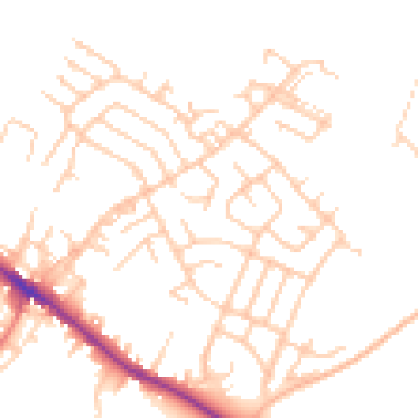
Daytime· 07:00 – 23:00
49.1dB

Night-time· 23:00 – 07:00
39.4dB