1 Belldean, Ince, Wigan, WN2 2EQ
About 1 Belldean
1 Belldean is a two-bedroom detached house in Ince, Wigan, Wigan (WN2 2EQ). It has a recorded floor area of 48 m² (around 517 sq ft), construction records dating it to 1996-2002 and council tax band B. The latest certificate (March 2018) shows a D (score 66), on the cusp of jumping into the C band. The recommended improvements would lift it to B (score 85), a 2-band jump.
Across 1998–2018, sale prices on this property compounded at 5.4% per year. Today's modelled estimate of £162,000 is 35% above the 2018 sale price. On a £-per-square-foot basis, the last sale (£232/sq ft) was about 64.8% above the typical sold price in the postcode. At 48 m² it's 17.2% smaller than the typical home in the postcode (58 m² median across 3 EPCs). Most recent transfer: December 2018 at £120,000.
What this property has
Inside
- Bedrooms2
- Bathrooms1
Outside
- Private gardenYes
- GarageYes
Everything you need to know about 1 Belldean
The true value, the hidden risks and the full sale history, in one report.
Pick your report · every report is £14.99
One time fee only - money back guarantee

The data behind every report


Energy performance
Recommended upgrades on file would lift this property by multiple EPC bands.
EPC Rating
Get a survey for this property
Level 2 HomeBuyer Report
We've checked 10 risk factors against the available data for this property and believe a Level 2 HomeBuyer Report could be a suitable option for you.
From £495 · Includes VAT
Planning history
1 Belldean has no planning applications on record.
But the area is active
6 notable applications nearby — larger schemes and conversions that could reshape the street. The report maps them all.
Sales history & valuation
Sale price has grown by over 3x since 1998.
£162,000
Modelled from EPC, postcode comparables and a sale-price growth of 5.4% per year over 21 years.
£120,000
Growth on file: 5.4% per year over 21 years.
Sales timeline
7 December 2018Most recent
£120,000
+9.1%over 11 years31 October 2007
£110,000
+175.3%over 9 years16 January 1998
£39,950
Median price across the last 5 sales in WN2 2EQ: £88,000 (2017–2004).
Versus other Belldean homes
1 Belldean outperforms the street on price per m² by a wide margin.
Price per m²
£2,500
Street avg £1,694
Floor Area
48 m²
Street avg 59 m²
Habitable Rooms
3 rooms
Street avg 4 rooms
CO₂ Emissions
2.2 t/year
Street avg 2.1 t/year
Everything you need to know about 1 Belldean
The true value, the hidden risks and the full sale history, in one report.
Pick your report · every report is £14.99
One time fee only - money back guarantee
The data behind every report
Similar properties nearby
1 Branthwaite, Ince
WN2 2EF
1 Applethwaite, Ince
WN2 2EE
1 Brownlow Avenue, Ince
WN2 2LJ
1 Dovenby Fold, Ince
WN2 2PS
1 Amar Street, Ince
WN2 2DQ
1 Coalshield Close, Ince
WN2 2FJ
1 Clarington Place, Bird Street, Ince
WN2 2AS
1 Edinburgh Close, Ince
WN2 2JQ
The neighbourhood at a glance
Daytime road noise here sits well below conversation level — a quiet pocket of the postcode.
Nearest stop
0.1 km
Belle Green Lane — bus stop.
Closest school
0.9 km
Ince CofE Primary School. 23 schools nearby.
Go deeper on the local area
A Local Area report breaks down crime, transport links, schools and air quality in depth.
Road noise across the postcode
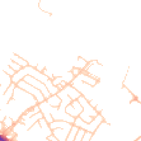
Daytime· 07:00 – 23:00
45.6dB

Night-time· 23:00 – 07:00
36.8dB