19 Balne Lane, Wakefield, WF2 0DL
About 19 Balne Lane
19 Balne Lane is a two-bedroom mid-terrace house in Wakefield (WF2 0DL). It has a recorded floor area of 96 m² (around 1033 sq ft), construction records dating it to 1900-1929 and council tax band A. The latest certificate (March 2013) shows a D (score 57), a step below the typical UK home. The recommended improvements would push it to C (score 78). The latest certificate is from March 2013, so improvements made since then won't be reflected.
Today's modelled estimate of £160,000 sits 86% above the 2020 sale of £86,000. On a £-per-square-foot basis, the last sale (£83/sq ft) was about 32.5% below the postcode norm. At 96 m² it's 20.8% larger than the typical home in the postcode (80 m² median across 20 EPCs). Most recent transfer: September 2020 at £86,000.
What this property has
Inside
- Bedrooms2
- Bathrooms1
Outside
- Private gardenYes
Building
- RefurbishedYes
Everything you need to know about 19 Balne Lane
The true value, the hidden risks and the full sale history, in one report.
Pick your report · every report is £14.99
One time fee only - money back guarantee

The data behind every report


Energy performance
19 Balne Lane's EPC is over a decade old — improvements since won't be reflected.
EPC Expired
This certificate is over 10 years old and is no longer valid.Expired 19 Mar 2023
EPC Rating
Get a survey for this property
Level 3 Building Survey
Because the property was built before 1919 and has solid (non-cavity) walls, we believe a Level 3 building survey should be considered.
From £820 · Includes VAT
Planning history
19 Balne Lane has no planning applications on record.
But the area is active
5 notable applications nearby — larger schemes and conversions that could reshape the street. The report maps them all.
Sales history & valuation
The latest sale landed in the post-pandemic price surge — useful context when reading the figure.
£160,000
Modelled from EPC, postcode comparables.
£86,000
Recorded with HM Land Registry.
Sales timeline
17 September 2020Most recent
£86,000
Median price across the last 5 sales in WF2 0DL: £185,000 (2025–2023).
Versus other Balne Lane homes
On epc rating, 19 Balne Lane runs well behind the street norm.
Price per m²
£896
Street avg £1,757
Floor Area
96 m²
Street avg 91 m²
Habitable Rooms
4 rooms
Street avg 5 rooms
CO₂ Emissions
5.0 t/year
Street avg 4.6 t/year
Everything you need to know about 19 Balne Lane
The true value, the hidden risks and the full sale history, in one report.
Pick your report · every report is £14.99
One time fee only - money back guarantee
The data behind every report
Similar properties nearby
The neighbourhood at a glance
Rail-style transport is unusually close for this postcode.
Crime
7/mo
Rising year-on-year across the wider district.
Nearest stop
0.1 km
Darnley Avenue Balne Ln — bus stop.
Closest school
0.5 km
Wakefield Flanshaw Junior and Infant School. 25 schools nearby.
Go deeper on the local area
A Local Area report breaks down crime, transport links, schools and air quality in depth.
Road noise across the postcode
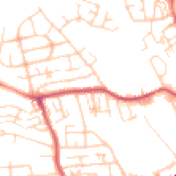
Daytime· 07:00 – 23:00
50.0dB

Night-time· 23:00 – 07:00
39.2dB