11 Harris Road, Watford, WD25 0AX
About 11 Harris Road
11 Harris Road is a semi-detached house in Watford (WD25 0AX). It has a recorded floor area of 85 m² (around 915 sq ft), construction records dating it to 1976-1982 and council tax band D. The latest certificate (April 2024) shows a D (score 67), on the cusp of jumping into the C band. The rating has held steady at D across 2 certificates since August 2022. Between certificates, wall efficiency went from Poor to Average, roof efficiency went from Average to Good and lighting went from Poor to Very Good. The recommended improvements would lift it to B (score 84), a 2-band jump.
At 85 m² it's 25% larger than the typical home in the postcode (68 m² median across 13 EPCs). It lags the bulk of the postcode on energy efficiency (less efficient than 85% of similar EPCs). Across 2023–2023, sale prices on this property compounded at -9.9% per year. Today's modelled estimate of £439,000 is 46.3% above the 2023 sale price. On a £-per-square-foot basis, the last sale (£328/sq ft) was about 24.3% below the postcode norm. Most recent transfer: September 2023 at £300,000.
Everything you need to know about 11 Harris Road
The true value, the hidden risks and the full sale history, in one report.
30-day money-back guarantee

The data behind every report


Energy performance
Recommended upgrades on file would lift this property by multiple EPC bands.
EPC Rating
Property Improvements
Changes detected from historical EPC data
Heating controls upgraded for better temperature management
Windows upgraded, improving insulation
Wall insulation upgraded
Roof insulation improved
More low energy lighting installed
Planning history
11 Harris Road has no planning applications on record.
Notable planning nearby
2applications of note in the surrounding area
Sales history & valuation
£439,000
Modelled from EPC, postcode comparables and a sale-price growth of -9.9% per year over 1 year.
£300,000
Growth on file: -9.9% per year over 1 year.
Sales timeline
27 September 2023Most recent
£300,000
-9.9%27 September 2023
£333,000
Median price across the last 5 sales in WD25 0AX: £360,000 (2024–2006).
Versus other Harris Road homes
On price per m², 11 Harris Road runs well behind the street norm.
Price per m²
£3,918
Street avg £5,123
Floor Area
85 m²
Street avg 71 m²
Habitable Rooms
5 rooms
Street avg 4 rooms
CO₂ Emissions
3.4 t/year
Street avg 2.8 t/year
Everything you need to know about 11 Harris Road
The true value, the hidden risks and the full sale history, in one report.
30-day money-back guarantee
The data behind every report
Similar properties nearby
The neighbourhood at a glance
Crime
4/mo
Steady year-on-year across the wider district.
Nearest stop
0.1 km
Rushton Avenue — bus stop.
Closest school
0.2 km
Kingsway Junior School. 28 schools nearby.
Go deeper on the local area
The full report breaks down crime, transport links, schools and air quality in depth.
Road noise across the postcode
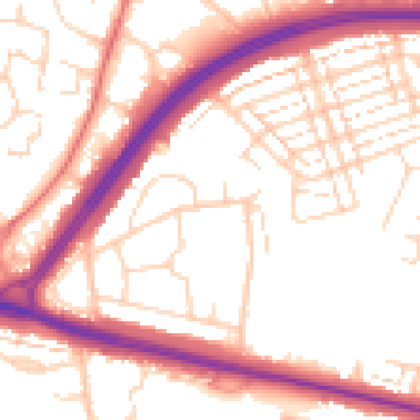
Daytime· 07:00 – 23:00
54.2dB

Night-time· 23:00 – 07:00
45.2dB