392 St Albans Road, Watford, WD24 6PJ
About 392 St Albans Road
392 St Albans Road is a three-bedroom semi-detached house in Watford (WD24 6PJ). It has a recorded floor area of 87 m² (around 936 sq ft), construction records dating it to 1900-1929 and council tax band D. The latest certificate (June 2024) shows an E (score 51), well below the UK norm with real room to improve. Earlier certificates rated it D (November 2016); the latest reading is one band lower. Between certificates, roof efficiency went from Very Poor to Poor; while window efficiency dropped from Good to Average. The recommended improvements would lift it to B (score 84), a 3-band jump.
At 87 m² the property is well over the postcode median (62 m² across 39 EPCs), placing it in the larger end of the local stock. It lags the bulk of the postcode on energy efficiency (less efficient than 82% of similar EPCs). Across 1998–2019, sale prices on this property compounded at 7.5% per year. Today's modelled estimate of £492,000 is 18.6% above the 2019 sale price. On a £-per-square-foot basis, the last sale (£443/sq ft) was about 114.9% above the typical sold price in the postcode. Sold December 2019 for £415,000.
What this property has
Inside
- Bedrooms3
- Bathrooms1
- Dining roomYes
- CloakroomYes
Outside
- Private gardenRear
- DrivewayYes
Everything you need to know about 392 St Albans Road
The true value, the hidden risks and the full sale history, in one report.
30-day money-back guarantee

The data behind every report


Energy performance
Recommended upgrades on file would lift this property by multiple EPC bands.
EPC Rating
Property Improvements
Changes detected from historical EPC data
Heating controls changed
Roof insulation improved
Planning history
392 St Albans Road has no planning applications on record.
Notable planning nearby
4applications of note in the surrounding area
We flagged 1 thing worth checking at 392 St Albans Road
Independent checks surfaced things a buyer would want to understand before offering. The report explains each one in full, with the underlying data and what to ask.
- Signs of HMO activity in the area
30-day money-back guarantee
Sales history & valuation
392 St Albans Road has more than quadrupled in price since its earliest registered sale in 1998.
£492,000
Modelled from EPC, postcode comparables and a sale-price growth of 7.5% per year over 22 years.
£415,000
Growth on file: 7.5% per year over 22 years.
Sales timeline
20 December 2019Most recent
£415,000
+66.0%over 12 years27 September 2007
£250,000
+187.4%over 9 years27 March 1998
£87,000
Median price across the last 5 sales in WD24 6PJ: £412,500 (2025–2024).
Nearby sales in WD24 6PJ
Versus other St Albans Road homes
392 St Albans Road outperforms the street on price per m² by a wide margin.
Price per m²
£4,770
Street avg £3,360
Floor Area
87 m²
Street avg 97 m²
Habitable Rooms
5 rooms
Street avg 5 rooms
CO₂ Emissions
5.1 t/year
Street avg 4.9 t/year
Everything you need to know about 392 St Albans Road
The true value, the hidden risks and the full sale history, in one report.
30-day money-back guarantee
The data behind every report
Similar properties nearby
The neighbourhood at a glance
Rail-style transport is unusually close for this postcode.
Crime
4/mo
Rising year-on-year across the wider district.
Nearest stop
0.1 km
Bushey Mill Lane — bus stop.
Closest school
0.3 km
Parkgate Junior School. 31 schools nearby.
Go deeper on the local area
The full report breaks down crime, transport links, schools and air quality in depth.
Road noise across the postcode
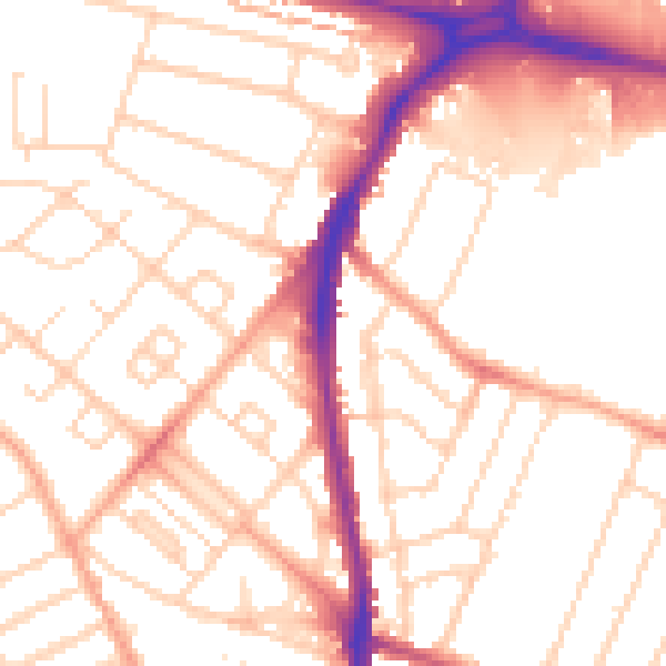
Daytime· 07:00 – 23:00
52.8dB

Night-time· 23:00 – 07:00
42.2dB