386 St Albans Road, Watford, WD24 6PJ
About 386 St Albans Road
386 St Albans Road is a four-bedroom semi-detached house in Watford (WD24 6PJ). It has a recorded floor area of 144 m² (around 1550 sq ft), construction records dating it to 1976-1982 and council tax band E. The latest certificate (February 2024) shows a C (score 71). The rating has held steady at C across 4 certificates since April 2010. Between certificates, roof efficiency went from Very Poor to Good and lighting went from Average to Very Good; while wall efficiency dropped from Good to Average and window efficiency dropped from Good to Average. The recommended improvements would push it to B (score 84).
It hasn't traded since November 2010, a hold of 16 years that's notably long for the area. At 144 m² the property is well over the postcode median (62 m² across 39 EPCs), placing it in the larger end of the local stock. Its energy rating outperforms most of the postcode (better than 74% of similar EPCs). Across 1996–2010, sale prices on this property compounded at 11.3% per year. Today's modelled estimate of £584,000 sits 82.5% above the 2010 sale of £320,000.
What this property has
Inside
- Bedrooms4
Everything you need to know about 386 St Albans Road
The true value, the hidden risks and the full sale history, in one report.
30-day money-back guarantee

The data behind every report


Energy performance
EPC Rating
Property Improvements
Changes detected from historical EPC data
Hot water system changed
Low energy lighting percentage decreased
Heating controls upgraded for better temperature management
Hot water system upgraded
Cavity wall insulation installed
Roof insulation improved
More low energy lighting installed
Hot water efficiency improved
Loft insulation upgraded to recommended levels
More low energy lighting installed
Planning history
386 St Albans Road has no planning applications on record.
Notable planning nearby
4applications of note in the surrounding area
We flagged 1 thing worth checking at 386 St Albans Road
Independent checks surfaced things a buyer would want to understand before offering. The report explains each one in full, with the underlying data and what to ask.
- Signs of HMO activity in the area
30-day money-back guarantee
Sales history & valuation
Price for 386 St Albans Road has grown more than fourfold since the 1996 starting point.
£584,000
Modelled from EPC, postcode comparables and a sale-price growth of 11.3% per year over 15 years.
£320,000
Growth on file: 11.3% per year over 15 years.
Sales timeline
12 November 2010Most recent
£320,000
+221.6%over 11 years20 July 1999
£99,500
+50.8%over 3 years23 February 1996
£66,000
Median price across the last 5 sales in WD24 6PJ: £412,500 (2025–2024).
Nearby sales in WD24 6PJ
Versus other St Albans Road homes
386 St Albans Road outperforms the street on epc rating by a wide margin.
Price per m²
£2,222
Street avg £3,556
Floor Area
144 m²
Street avg 94 m²
Habitable Rooms
6 rooms
Street avg 5 rooms
CO₂ Emissions
4.5 t/year
Street avg 4.9 t/year
Everything you need to know about 386 St Albans Road
The true value, the hidden risks and the full sale history, in one report.
30-day money-back guarantee
The data behind every report
Similar properties nearby
The neighbourhood at a glance
Rail-style transport is unusually close for this postcode.
Crime
4/mo
Rising year-on-year across the wider district.
Nearest stop
0.1 km
Bushey Mill Lane — bus stop.
Closest school
0.3 km
Parkgate Junior School. 31 schools nearby.
Go deeper on the local area
The full report breaks down crime, transport links, schools and air quality in depth.
Road noise across the postcode
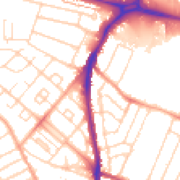
Daytime· 07:00 – 23:00
52.8dB

Night-time· 23:00 – 07:00
42.2dB