1 Carew Way, Watford, WD19 5BG
About 1 Carew Way
1 Carew Way is a detached house in Watford (WD19 5BG). It has a recorded floor area of 125 m² (around 1345 sq ft), construction records dating it to 1983-1990 and council tax band G. The latest certificate (April 2021) shows a D (score 65), on the cusp of jumping into the C band. The recommended improvements would push it to C (score 80).
9 planning records sit against the property, 3 approved, 1 refused. Past consents include tree works, an extension and a garage conversion, meaningful when judging how the property has evolved. It lags the bulk of the postcode on energy efficiency (less efficient than 71% of similar EPCs). Across 1998–2021, sale prices on this property compounded at 6% per year. On a £-per-square-foot basis, the last sale (£624/sq ft) was about 224.9% above the typical sold price in the postcode. Last sale on file: £840,000 in November 2021. That sale was during the post-pandemic price surge, when transactions cleared materially above pre-2020 trend.
Everything you need to know about 1 Carew Way
The true value, the hidden risks and the full sale history, in one report.
30-day money-back guarantee

The data behind every report


Energy performance
EPC Rating
Planning history
A recent planning application at 1 Carew Way was refused — worth checking the council file.
- Sept 2025Tree WorksTreesIn report
Tree 2 (sycamore) - reduce the tree to around 7 m above ground level and 5 m in overall spread, maintain at this size by pruning every third year. Tree 3 (holly) - remove. See attached report
- Documents
- 4 docs on file
- Reference
- 25/1269/TPO
- Jul 2025Tree WorksTreesIn report
T1 - Sycamore Fell
- Documents
- 3 docs on file
- Reference
- 25/1275/DDD
What's in 1 Carew Way, Watford, WD19 5BG's planning history?
7 more on this property, plus refusals, disputes and full decisions nearby, in the report.
Sales history & valuation
Sale price has grown by over 3x since 1998.
£875,000
Modelled from EPC, postcode comparables and a sale-price growth of 6.0% per year over 23 years.
£840,000
Growth on file: 6.0% per year over 23 years.
Sales timeline
1 November 2021Most recent
£840,000
+290.7%over 23 years20 August 1998
£215,000
Median price across the last 5 sales in WD19 5BG: £700,000 (2025–2011).
Versus other Carew Way homes
On price per m², 1 Carew Way stands well clear of the street.
Price per m²
£6,720
Street avg £3,472
Floor Area
125 m²
Street avg 124 m²
Habitable Rooms
8 rooms
Street avg 6 rooms
CO₂ Emissions
4.9 t/year
Street avg 4.1 t/year
Everything you need to know about 1 Carew Way
The true value, the hidden risks and the full sale history, in one report.
30-day money-back guarantee
The data behind every report
Similar properties nearby
The neighbourhood at a glance
Rail-style transport is unusually close for this postcode.
Crime
4/mo
Steady year-on-year across the wider district.
Nearest stop
0.5 km
Upper Hitch — bus stop.
Closest school
0.1 km
St Meryl School. 25 schools nearby.
Go deeper on the local area
The full report breaks down crime, transport links, schools and air quality in depth.
Road noise across the postcode
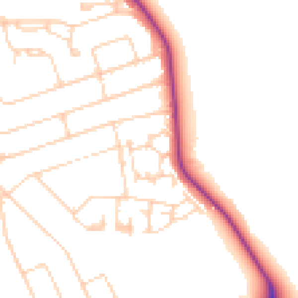
Daytime· 07:00 – 23:00
49.3dB

Night-time· 23:00 – 07:00
40.3dB