7 Pankridge, The Hoe, Watford, WD19 5AX
About 7 Pankridge
7 Pankridge is a three-bedroom detached house in Watford (WD19 5AX). It has a recorded floor area of 82 m² (around 883 sq ft), construction records dating it to 1950-1966 and council tax band D. At 82 m² this is the smallest unit on EPC record across the building (82–107 m²). The building's EPC ratings span E to B, with this unit at the bottom. On EPC score it ranks last in the building (52 versus a best of 81). The latest certificate (June 2023) shows an E (score 52), well below the UK norm with real room to improve. The rating has held steady at E across 2 certificates since January 2013. Between certificates, hot-water efficiency went from Very Poor to Average and lighting went from Average to Very Good. The recommended improvements would lift it to C (score 73), a 2-band jump.
On energy efficiency it sits in the bottom 10% of properties in this postcode — significant headroom for improvement. Last sale on file: £386,500 in October 2024. Across the public record there are 4 sales, relatively high churn for a single property. Across 2002–2024, sale prices on this property compounded at 3.7% per year. On a £-per-square-foot basis, the last sale (£438/sq ft) was about 71.7% above the typical sold price in the postcode.
What this property has
Inside
- Bedrooms3
- Bathrooms1
- EnsuiteYes
Outside
- GarageEn bloc
Building
- Heating systemGas
- RefurbishedYes
Everything you need to know about 7 Pankridge
The true value, the hidden risks and the full sale history, in one report.
30-day money-back guarantee

The data behind every report


Energy performance
7 Pankridge sits at the bottom of the postcode for energy efficiency — meaningful headroom to improve.
EPC Rating
Property Improvements
Changes detected from historical EPC data
Hot water system upgraded
Windows upgraded, improving insulation
More low energy lighting installed
Planning history
7 Pankridge has no planning applications on record.
The full report still covers planning activity across the surrounding area.
Sales history & valuation
Latest sale on 7 Pankridge was the highest on Land Registry record across the postcode.
£397,000
Modelled from EPC, postcode comparables and a sale-price growth of 3.7% per year over 22 years.
£386,500
Growth on file: 3.7% per year over 22 years.
Sales timeline
30 October 2024Most recent
£386,500
+61.0%over 11 years27 August 2013
£240,100
+11.2%over 6 years14 February 2007
£216,000
+23.4%over 4 years5 December 2002
£175,000
Median price across the last 5 sales in WD19 5AX: £347,500 (2024–2021).
Nearby sales in WD19 5AX
9 Pankridge, The Hoe, Watford, WD19 5AX
Sold Nov 2024
£348,85010 Pankridge, The Hoe, Watford, WD19 5AX
Sold Sept 2024
£362,5005 Pankridge, The Hoe, Watford, WD19 5AX
Sold Dec 2023
£326,5008 Pankridge, The Hoe, Watford, WD19 5AX
Sold Jul 2022
£347,5001 Pankridge, The Hoe, Watford, WD19 5AX
Sold May 2021
£345,000
Versus other Pankridge homes
7 Pankridge outperforms the street on price per m² by a wide margin.
Price per m²
£4,713
Street avg £3,444
Floor Area
82 m²
Street avg 90 m²
Habitable Rooms
4 rooms
Street avg 4 rooms
CO₂ Emissions
5.3 t/year
Street avg 3.0 t/year
Everything you need to know about 7 Pankridge
The true value, the hidden risks and the full sale history, in one report.
30-day money-back guarantee
The data behind every report
Similar properties nearby
1 By The Wood
WD19 5AG
1 Foxleys
WD19 5DB
1 Pankridge, The Hoe
WD19 5AX
1 Gibbs Couch
WD19 5EG
1 Kimblewick, By The Wood
WD19 5AJ
1 Chartridge, The Hoe
WD19 5AT
1 The Courtway
WD19 5DP
1 On The Hill
WD19 5DS
The neighbourhood at a glance
Rail-style transport is unusually close for this postcode.
Crime
4/mo
Steady year-on-year across the wider district.
Nearest stop
0.1 km
By The Wood — bus stop.
Closest school
0.7 km
Warren Dell Primary School. 31 schools nearby.
Go deeper on the local area
The full report breaks down crime, transport links, schools and air quality in depth.
Road noise across the postcode
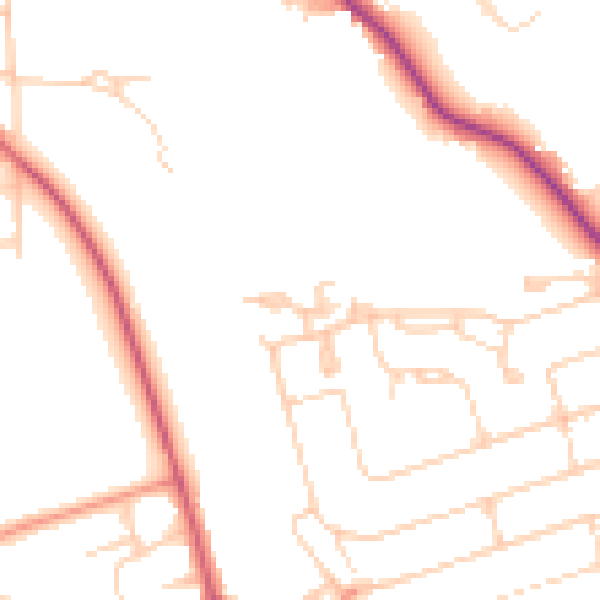
Daytime· 07:00 – 23:00
48.5dB

Night-time· 23:00 – 07:00
39.5dB