18 Bucks Avenue, Watford, WD19 4AS
About 18 Bucks Avenue
18 Bucks Avenue is a four-bedroom semi-detached house in Watford (WD19 4AS). It has a recorded floor area of 146 m² (around 1568 sq ft), construction records dating it to 1900-1929 and council tax band E. The latest certificate (January 2012) shows a D (score 57), a step below the typical UK home. The latest certificate is from January 2012, so improvements made since then won't be reflected.
Today's modelled estimate of £806,000 sits 71.5% above the 2013 sale of £470,000. On a £-per-square-foot basis, the last sale (£300/sq ft) was about 26.3% below the postcode norm. Last sold in June 2013, so it's been off the market for around 13 years. One historical planning record sits against the property in 2004.
What this property has
Inside
- Bedrooms4
- Dining roomYes
- Utility roomYes
- EnsuiteYes
Outside
- Private gardenYes
- ParkingOff street
Building
- Heating systemGas
Everything you need to know about 18 Bucks Avenue
The true value, the hidden risks and the full sale history, in one report.
30-day money-back guarantee

The data behind every report


Energy performance
18 Bucks Avenue's carbon output runs well above what efficient homes in the postcode produce.
EPC Expired
This certificate is over 10 years old and is no longer valid.Expired 24 Jan 2022
EPC Rating
Planning history
- May 2004ExtensionFullIn report
Extension: Single storey · Side and rear of property
Erection of single storey side and rear extension
- Documents
- 18 docs on file
- Reference
- 04/00346/FUL
We flagged 1 thing worth checking at 18 Bucks Avenue
Independent checks surfaced things a buyer would want to understand before offering. The report explains each one in full, with the underlying data and what to ask.
- Larger development activity nearby
30-day money-back guarantee
Sales history & valuation
18 Bucks Avenue valuation sits well clear of the typical sold price in this postcode.
£806,000
Modelled from EPC, postcode comparables.
£470,000
Recorded with HM Land Registry.
Sales timeline
13 June 2013Most recent
£470,000
Median price across the last 5 sales in WD19 4AS: £680,000 (2025–2020).
Versus other Bucks Avenue homes
On price per m², 18 Bucks Avenue runs well behind the street norm.
Price per m²
£3,226
Street avg £5,838
Floor Area
146 m²
Street avg 137 m²
Habitable Rooms
7 rooms
Street avg 7 rooms
CO₂ Emissions
7.2 t/year
Street avg 6.9 t/year
Everything you need to know about 18 Bucks Avenue
The true value, the hidden risks and the full sale history, in one report.
30-day money-back guarantee
The data behind every report
Similar properties nearby
1 Elm Avenue
WD19 4BD
1 Eley Place
WD19 4FQ
1 Brookdene Avenue
WD19 4LG
1 Cedar Road
WD19 4QP
1 Brookmill Close
WD19 4BB
1 Brookside Road
WD19 4BW
1 Blackwell Drive
WD19 4HP
1 Caroline Place, Capel Road
WD19 4AF
The neighbourhood at a glance
Rail-style transport is unusually close for this postcode.
Crime
4/mo
Steady year-on-year across the wider district.
Nearest stop
0.1 km
Heath Road — bus stop.
Closest school
0.5 km
Bromet Primary School. 34 schools nearby.
Go deeper on the local area
The full report breaks down crime, transport links, schools and air quality in depth.
Road noise across the postcode
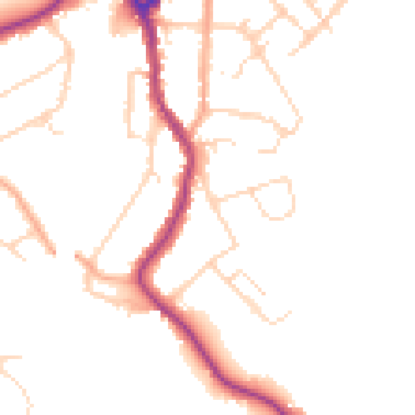
Daytime· 07:00 – 23:00
47.3dB

Night-time· 23:00 – 07:00
39.1dB