36 Bucks Avenue, Watford, WD19 4AS
About 36 Bucks Avenue
36 Bucks Avenue is a five-bedroom detached house in Watford (WD19 4AS). It has a recorded floor area of 187 m² (around 2013 sq ft), construction records dating it to 1930-1949 and council tax band F. The latest certificate (June 2024) shows a D (score 67), on the cusp of jumping into the C band. The recommended improvements would lift it to B (score 84), a 2-band jump. Other recorded features include a self-contained annexe.
At 187 m² the property is well over the postcode median (131 m² across 12 EPCs), placing it in the larger end of the local stock. 5 bedrooms is on the larger side for this postcode, where 3 is the typical count. It changed hands recently, sold January 2025 for £1,250,000. Across 2007–2025, sale prices on this property compounded at 4.5% per year. On a £-per-square-foot basis, the last sale (£621/sq ft) was about 56.8% above the typical sold price in the postcode. 4 planning records sit against the property, 0 approved, 1 refused.
What this property has
Inside
- Bedrooms5
- Bathrooms3
- Open-plan layoutYes
- Dining roomYes
- CloakroomYes
Outside
- Private gardenRear
- DrivewayYes
Building
- Heating systemGas
Everything you need to know about 36 Bucks Avenue
The true value, the hidden risks and the full sale history, in one report.
30-day money-back guarantee

The data behind every report


Energy performance
Recommended upgrades on file would lift this property by multiple EPC bands.
EPC Rating
Planning history
Planning history includes recorded demolition works, indicating a major rebuild phase at this address.
- Oct 2018AnnexFullIn report
Extension: Single storey · Rear of property
Demolition of existing conservatory and erection of a single storey rear extension to form an integral granny annexe. Includes removal of detached garage and new patio area.
ExtensionDemolition- Documents
- 13 docs on file
- Reference
- 18/01119/FULH
- Dec 2017ExtensionFullIn report
Extension: Single storey · Side and rear of property
Proposed demolition of existing garage and erection of single storey side/rear extension
- Documents
- 11 docs on file
- Reference
- 17/01441/FULH
We flagged 1 thing worth checking at 36 Bucks Avenue
Independent checks surfaced things a buyer would want to understand before offering. The report explains each one in full, with the underlying data and what to ask.
- Larger development activity nearby
30-day money-back guarantee
Sales history & valuation
Latest sale on 36 Bucks Avenue was the highest on Land Registry record across the postcode.
£1,171,000
Modelled from EPC, postcode comparables and a sale-price growth of 4.5% per year over 18 years.
£1,250,000
Growth on file: 4.5% per year over 18 years.
Sales timeline
28 January 2025Most recent
£1,250,000
+115.5%over 17 years1 July 2007
£580,000
Median price across the last 5 sales in WD19 4AS: £680,000 (2025–2019).
Versus other Bucks Avenue homes
Years Held for 36 Bucks Avenue lags the street by a wide margin.
Price per m²
£6,684
Street avg £5,524
Floor Area
187 m²
Street avg 134 m²
Habitable Rooms
9 rooms
Street avg 6 rooms
CO₂ Emissions
5.8 t/year
Street avg 7.0 t/year
Everything you need to know about 36 Bucks Avenue
The true value, the hidden risks and the full sale history, in one report.
30-day money-back guarantee
The data behind every report
Similar properties nearby
The neighbourhood at a glance
Rail-style transport is unusually close for this postcode.
Crime
4/mo
Steady year-on-year across the wider district.
Nearest stop
0.1 km
Heath Road — bus stop.
Closest school
0.5 km
Bromet Primary School. 34 schools nearby.
Go deeper on the local area
The full report breaks down crime, transport links, schools and air quality in depth.
Road noise across the postcode
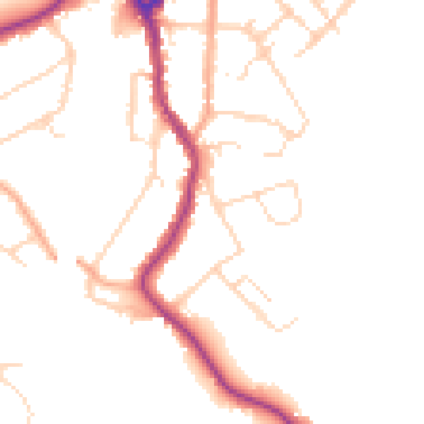
Daytime· 07:00 – 23:00
47.3dB

Night-time· 23:00 – 07:00
39.1dB