2 Bucks Avenue, Watford, WD19 4AS
About 2 Bucks Avenue
2 Bucks Avenue is a detached house in Watford (WD19 4AS). It has a recorded floor area of 120 m² (around 1292 sq ft), construction records dating it to 1900-1929 and council tax band F. The latest certificate (March 2020) shows an F (score 31), near the bottom of the EPC scale. The recommended improvements would lift it to B (score 81), a 4-band jump.
At 120 m² it's 16.3% smaller than the typical home in the postcode (143 m² median across 12 EPCs). On energy efficiency it sits in the bottom 10% of properties in this postcode — significant headroom for improvement. Today's modelled estimate of £892,000 is 31.2% above the 2020 sale price. On a £-per-square-foot basis, the last sale (£526/sq ft) was about 34% above the typical sold price in the postcode. Last sale on file: £680,000 in October 2020.
Everything you need to know about 2 Bucks Avenue
The true value, the hidden risks and the full sale history, in one report.
30-day money-back guarantee

The data behind every report


Energy performance
2 Bucks Avenue sits at the bottom of the postcode for energy efficiency — meaningful headroom to improve.
EPC Rating
Planning history
2 Bucks Avenue has no planning applications on record.
Notable planning nearby
4applications of note in the surrounding area
We flagged 1 thing worth checking at 2 Bucks Avenue
Independent checks surfaced things a buyer would want to understand before offering. The report explains each one in full, with the underlying data and what to ask.
- Larger development activity nearby
30-day money-back guarantee
Sales history & valuation
The latest sale landed in the post-pandemic price surge — useful context when reading the figure.
£892,000
Modelled from EPC, postcode comparables.
£680,000
Recorded with HM Land Registry.
Sales timeline
21 October 2020Most recent
£680,000
Median price across the last 5 sales in WD19 4AS: £680,000 (2025–2019).
Versus other Bucks Avenue homes
On epc rating, 2 Bucks Avenue runs well behind the street norm.
Price per m²
£5,667
Street avg £5,616
Floor Area
120 m²
Street avg 140 m²
Habitable Rooms
7 rooms
Street avg 7 rooms
CO₂ Emissions
9.7 t/year
Street avg 6.7 t/year
Everything you need to know about 2 Bucks Avenue
The true value, the hidden risks and the full sale history, in one report.
30-day money-back guarantee
The data behind every report
Similar properties nearby
The neighbourhood at a glance
Rail-style transport is unusually close for this postcode.
Crime
4/mo
Steady year-on-year across the wider district.
Nearest stop
0.1 km
Heath Road — bus stop.
Closest school
0.5 km
Bromet Primary School. 34 schools nearby.
Go deeper on the local area
The full report breaks down crime, transport links, schools and air quality in depth.
Road noise across the postcode
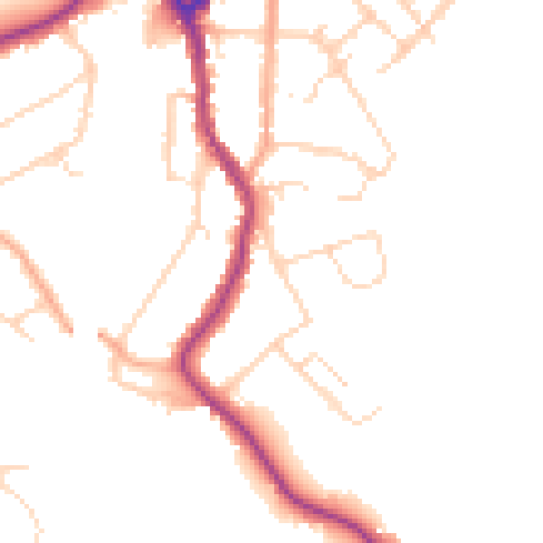
Daytime· 07:00 – 23:00
47.3dB

Night-time· 23:00 – 07:00
39.1dB