9 Greenbank Road, Watford, WD17 4JJ
About 9 Greenbank Road
9 Greenbank Road is a semi-detached house in Watford (WD17 4JJ). It has a recorded floor area of 93 m² (around 1001 sq ft), construction records dating it to 1976-1982 and council tax band D. The latest certificate (November 2015) shows a C (score 71). The rating has held steady at C across 2 certificates since April 2014. The recommended improvements would push it to B (score 85). The latest certificate is from November 2015, so improvements made since then won't be reflected.
6 planning records sit against the property, 2 approved, 1 refused. Past consents include an extension, meaningful when judging how the property has evolved.
Everything you need to know about 9 Greenbank Road
The true value, the hidden risks and the full sale history, in one report.
30-day money-back guarantee

The data behind every report


Energy performance
EPC Expired
This certificate is over 10 years old and is no longer valid.Expired 05 Nov 2025
EPC Rating
Planning history
9 Greenbank Road has 2 separate extension applications on the council record.
- Mar 2026PorchFullIn report
Extension: Side of property
Erection of proposed double storey side extension and extension to porch
Extension- Documents
- 18 docs on file
- Reference
- 26/00054/FULH
- Jan 2026PorchFullIn report
Erection of a part single storey and part two storey side extension, a single storey rear extension and front porch extension
Extension- Documents
- 18 docs on file
- Reference
- 25/00999/FULH
What's in 9 Greenbank Road, Watford, WD17 4JJ's planning history?
4 more on this property, plus refusals, disputes and full decisions nearby, in the report.
Sales history & valuation
9 Greenbank Road has no Land Registry sales on file, suggesting it has stayed in the same hands since registration began.
£508,000
Modelled from EPC, postcode comparables.
No sales recorded with HM Land Registry
That can mean the property has never traded since the registry began publishing in 1995, was a new build that hasn't been registered yet, or is held in the same hands long-term.
Median price across the last 5 sales in WD17 4JJ: £520,000 (2024–2017).
Nearby sales in WD17 4JJ
Versus other Greenbank Road homes
EPC Rating
71 (C)
Street avg 66 (D)
Floor Area
93 m²
Street avg 100 m²
CO₂ Emissions
3.1 t/year
Street avg 4.0 t/year
Habitable Rooms
5 rooms
Street avg 5 rooms
Everything you need to know about 9 Greenbank Road
The true value, the hidden risks and the full sale history, in one report.
30-day money-back guarantee
The data behind every report
Similar properties nearby
The neighbourhood at a glance
Crime
10/mo
Steady year-on-year across the wider district.
Nearest stop
0.4 km
Russell Lane — bus stop.
Closest school
0.2 km
Holy Rood Catholic Primary School. 24 schools nearby.
Go deeper on the local area
The full report breaks down crime, transport links, schools and air quality in depth.
Road noise across the postcode
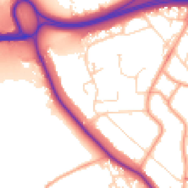
Daytime· 07:00 – 23:00
54.8dB

Night-time· 23:00 – 07:00
46.3dB