17a, Greenbank Road, Watford, WD17 4JJ
About 17a
17a is a detached house in Watford (WD17 4JJ). It has a recorded floor area of 67 m² (around 721 sq ft), construction records dating it to 1996-2002 and council tax band D. The latest certificate (November 2021) shows a D (score 66), on the cusp of jumping into the C band. The rating has held steady at D across 2 certificates since October 2011. Between certificates, lighting went from Very Poor to Good; while window efficiency dropped from Good to Average. The recommended improvements would lift it to B (score 83), a 2-band jump.
Today's modelled estimate of £435,000 is 41.7% above the 2018 sale price. On a £-per-square-foot basis, the last sale (£426/sq ft) was about 38.7% above the typical sold price in the postcode. At 67 m² it's 28% smaller than the typical home in the postcode (93 m² median across 7 EPCs). Most recent transfer: November 2018 at £307,000.
Everything you need to know about 17a
The true value, the hidden risks and the full sale history, in one report.
30-day money-back guarantee

The data behind every report


Energy performance
Recommended upgrades on file would lift this property by multiple EPC bands.
EPC Rating
Property Improvements
Changes detected from historical EPC data
Cavity wall insulation installed
More low energy lighting installed
Ventilation system changed
Planning history
17a has no planning applications on record.
Notable planning nearby
3applications of note in the surrounding area
Sales history & valuation
£435,000
Modelled from EPC, postcode comparables.
£307,000
Recorded with HM Land Registry.
Sales timeline
19 November 2018Most recent
£307,000
Median price across the last 5 sales in WD17 4JJ: £520,000 (2024–2015).
Nearby sales in WD17 4JJ
Versus other Greenbank Road homes
On floor area, 17a runs well behind the street norm.
Price per m²
£4,582
Street avg £4,455
Floor Area
67 m²
Street avg 104 m²
Habitable Rooms
4 rooms
Street avg 5 rooms
CO₂ Emissions
2.8 t/year
Street avg 4.0 t/year
Everything you need to know about 17a
The true value, the hidden risks and the full sale history, in one report.
30-day money-back guarantee
The data behind every report
Similar properties nearby
1 Burrow Close
WD17 4DS
1 Bromet Close
WD17 4LP
1 Cole Road
WD17 4QR
1 Church Road
WD17 4PY
1 Greenbank Road
WD17 4JJ
1 Arden Court, Lockhart Road
WD17 4AQ
1 Dagwood Court, Lockhart Road
WD17 4AW
1 Boyce Court, Lockhart Road
WD17 4AS
The neighbourhood at a glance
Crime
10/mo
Steady year-on-year across the wider district.
Nearest stop
0.4 km
Russell Lane — bus stop.
Closest school
0.2 km
Holy Rood Catholic Primary School. 24 schools nearby.
Go deeper on the local area
The full report breaks down crime, transport links, schools and air quality in depth.
Road noise across the postcode
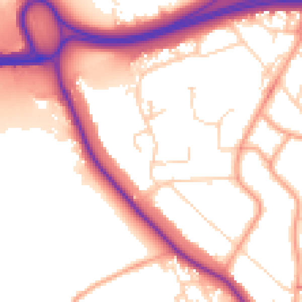
Daytime· 07:00 – 23:00
54.8dB

Night-time· 23:00 – 07:00
46.3dB