29 Greenbank Road, Watford, WD17 4JJ
About 29 Greenbank Road
29 Greenbank Road is a three-bedroom semi-detached house in Watford (WD17 4JJ). It has a recorded floor area of 93 m² (around 1001 sq ft), construction records dating it to 1950-1966 and council tax band D. The latest certificate (April 2024) shows an E (score 54), well below the UK norm with real room to improve. The recommended improvements would lift it to B (score 84), a 3-band jump. Our model identifies extension potential, subject to local planning policy.
On energy efficiency it sits in the bottom 10% of properties in this postcode — significant headroom for improvement. Today's modelled estimate of £583,000 is 15% above the 2024 sale price. On a £-per-square-foot basis, the last sale (£506/sq ft) was about 65% above the typical sold price in the postcode. Sold August 2024 for £507,000.
What this property has
Inside
- Bedrooms3
- Bathrooms1
- Dining roomYes
- Utility roomYes
- CloakroomYes
Outside
- Private gardenRear
Building
- RefurbishedYes
- Extension potentialPossible
Everything you need to know about 29 Greenbank Road
The true value, the hidden risks and the full sale history, in one report.
30-day money-back guarantee

The data behind every report


Energy performance
29 Greenbank Road sits at the bottom of the postcode for energy efficiency — meaningful headroom to improve.
EPC Rating
Planning history
29 Greenbank Road has no planning applications on record.
Notable planning nearby
3applications of note in the surrounding area
Sales history & valuation
29 Greenbank Road valuation sits well clear of the typical sold price in this postcode.
£583,000
Modelled from EPC, postcode comparables.
£507,000
Recorded with HM Land Registry.
Sales timeline
21 August 2024Most recent
£507,000
Median price across the last 5 sales in WD17 4JJ: £520,000 (2021–2015).
Nearby sales in WD17 4JJ
Versus other Greenbank Road homes
Price per m² for 29 Greenbank Road runs comfortably ahead of the street norm.
Price per m²
£5,452
Street avg £4,282
Floor Area
93 m²
Street avg 100 m²
Habitable Rooms
5 rooms
Street avg 5 rooms
CO₂ Emissions
5.4 t/year
Street avg 3.6 t/year
Everything you need to know about 29 Greenbank Road
The true value, the hidden risks and the full sale history, in one report.
30-day money-back guarantee
The data behind every report
Similar properties nearby
The neighbourhood at a glance
Crime
10/mo
Steady year-on-year across the wider district.
Nearest stop
0.4 km
Russell Lane — bus stop.
Closest school
0.2 km
Holy Rood Catholic Primary School. 24 schools nearby.
Go deeper on the local area
The full report breaks down crime, transport links, schools and air quality in depth.
Road noise across the postcode
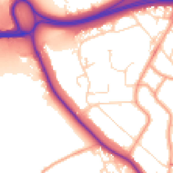
Daytime· 07:00 – 23:00
54.8dB

Night-time· 23:00 – 07:00
46.3dB