Flat 2, 27 St Johns Road, Watford, WD17 1PY
About Flat 2
Flat 2 is a mid-terrace house in Watford (WD17 1PY). It has a recorded floor area of 46 m² (around 495 sq ft), construction records dating it to before 1900 and council tax band C. At 46 m² this is the smallest unit on EPC record across the building (46–50 m²). The building's EPC ratings span D to C, with this unit at the top. The latest certificate (August 2016) shows a C (score 69), just inside the C band.
Across 2005–2017, sale prices on this property compounded at 5.1% per year. On a £-per-square-foot basis, the last sale (£505/sq ft) was about 109.4% above the typical sold price in the postcode. 9 years since the last transfer (January 2017).
Everything you need to know about Flat 2
The true value, the hidden risks and the full sale history, in one report.
30-day money-back guarantee

The data behind every report


Energy performance
EPC Rating
Planning history
Flat 2 has no planning applications on record.
Notable planning nearby
7applications of note in the surrounding area
We flagged 2 things worth checking at Flat 2
Independent checks surfaced things a buyer would want to understand before offering. The report explains each one in full, with the underlying data and what to ask.
- Signs of HMO activity in the area
- Larger development activity nearby
30-day money-back guarantee
Sales history & valuation
Latest sale on Flat 2 was the highest on Land Registry record across the postcode.
£234,000
Modelled from EPC, postcode comparables and a sale-price growth of 5.1% per year over 11 years.
£249,995
Growth on file: 5.1% per year over 11 years.
Sales timeline
6 January 2017Most recent
£249,995
+74.8%over 11 years12 October 2005
£143,000
Median price across the last 5 sales in WD17 1PY: £198,500 (2025–2008).
Nearby sales in WD17 1PY
Laurel House, Flat 5, 29 St Johns Road, Watford, WD17 1PY
Sold Oct 2025
£198,500Laurel House, Flat 2, 29 St Johns Road, Watford, WD17 1PY
Sold Dec 2022
£217,500Laurel House, Flat 4, 29 St Johns Road, Watford, WD17 1PY
Sold Nov 2018
£218,000Flat 1, 27 St Johns Road, Watford, WD17 1PY
Sold Mar 2008
£181,000Flat 3, 27 St Johns Road, Watford, WD17 1PY
Sold Oct 2003
£131,500
Versus other St Johns Road homes
Price per m²
£5,435
Street avg £4,074
Floor Area
46 m²
Street avg 43 m²
Habitable Rooms
2 rooms
Street avg 2 rooms
CO₂ Emissions
2.0 t/year
Street avg 1.9 t/year
Everything you need to know about Flat 2
The true value, the hidden risks and the full sale history, in one report.
30-day money-back guarantee
The data behind every report
Similar properties nearby
112a, Flat 14, The Parade, High Street
WD17 1AU
112a, Flat 9, The Parade, High Street
WD17 1AU
135a, Flat 14, The Parade, High Street
WD17 1BS
135a, Flat 16, The Parade, High Street
WD17 1BS
112a, Flat 1, The Parade, High Street
WD17 1AU
112a, Flat 12, The Parade, High Street
WD17 1AU
135a, Flat 12, The Parade, High Street
WD17 1BS
112a, Flat 4, The Parade, High Street
WD17 1AU
The neighbourhood at a glance
Rail-style transport is unusually close for this postcode.
Crime
10/mo
Steady year-on-year across the wider district.
Nearest stop
0.2 km
St John's Road — bus stop.
Closest school
0.4 km
Watford St John's Church of England Primary School. 36 schools nearby.
Go deeper on the local area
The full report breaks down crime, transport links, schools and air quality in depth.
Road noise across the postcode
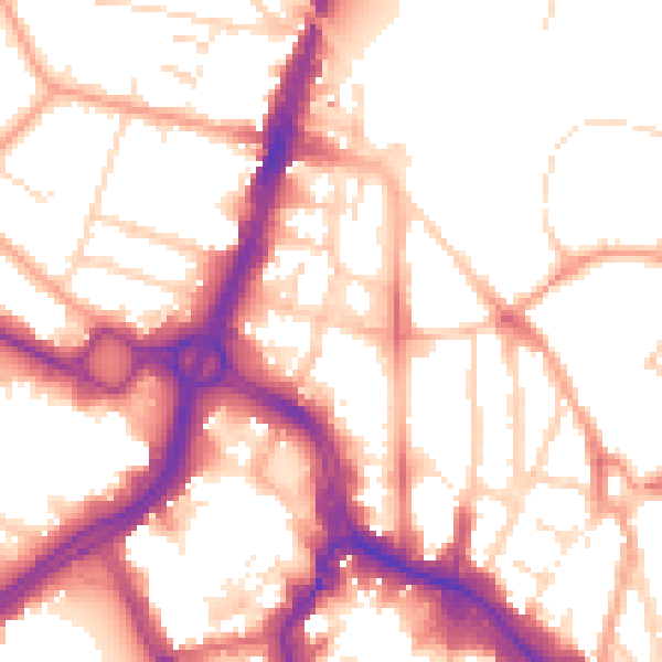
Daytime· 07:00 – 23:00
54.5dB

Night-time· 23:00 – 07:00
45.1dB