112a, Flat 14, The Parade, High Street, Watford, WD17 1AU
About 112a
112a is a mid-terrace house in Watford (WD17 1AU). It has a recorded floor area of 44 m² (around 474 sq ft). At 44 m² this is the smallest unit on EPC record across 112a (44–65 m²). The building's EPC ratings span C to B, with this unit at the bottom. The latest certificate (December 2019) shows a C (score 76), near the top of the C band. Main heating runs on electricity: electricity, unspecified tariff.
Today's modelled estimate of £234,000 is 71.6% below the 2014 sale of £825,000, below the original sale price, which typically signals condition or completion-status changes worth verifying. Last sold in July 2014, so it's been off the market for around 12 years. At 44 m² it's 21.4% smaller than the typical home in the postcode (56 m² median across 14 EPCs).
Everything you need to know about 112a
The true value, the hidden risks and the full sale history, in one report.
30-day money-back guarantee

The data behind every report


Energy performance
112a's carbon output is low for the local stock.
EPC Rating
Planning history
112a has no planning applications on record.
Notable planning nearby
7applications of note in the surrounding area
We flagged 2 things worth checking at 112a
Independent checks surfaced things a buyer would want to understand before offering. The report explains each one in full, with the underlying data and what to ask.
- Signs of HMO activity in the area
- Larger development activity nearby
30-day money-back guarantee
Sales history & valuation
£234,000
Modelled from EPC, postcode comparables.
£825,000
Recorded with HM Land Registry.
Sales timeline
1 July 2014Most recent
£825,000
Median price across the last 5 sales in WD17 1AU: £330,000 (2022–2020).
Versus other The Parade homes
On floor area, 112a runs well behind the street norm.
EPC Rating
76 (C)
Street avg 74 (C)
Floor Area
44 m²
Street avg 54 m²
CO₂ Emissions
1.4 t/year
Street avg 1.6 t/year
Everything you need to know about 112a
The true value, the hidden risks and the full sale history, in one report.
30-day money-back guarantee
The data behind every report
Similar properties nearby
112a, Flat 9, The Parade, High Street
WD17 1AU
135a, Flat 14, The Parade, High Street
WD17 1BS
135a, Flat 16, The Parade, High Street
WD17 1BS
112a, Flat 1, The Parade, High Street
WD17 1AU
112a, Flat 12, The Parade, High Street
WD17 1AU
135a, Flat 12, The Parade, High Street
WD17 1BS
112a, Flat 4, The Parade, High Street
WD17 1AU
103 105, Flat 5, St Albans Road
WD17 1RD
The neighbourhood at a glance
Rail-style transport is unusually close for this postcode.
Crime
10/mo
Steady year-on-year across the wider district.
Nearest stop
0.1 km
Town Hall — bus stop.
Closest school
0.3 km
Watford St John's Church of England Primary School. 36 schools nearby.
Go deeper on the local area
The full report breaks down crime, transport links, schools and air quality in depth.
Road noise across the postcode
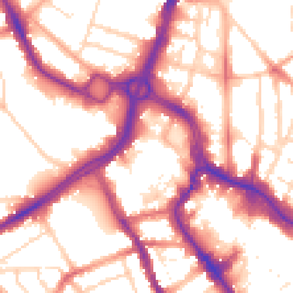
Daytime· 07:00 – 23:00
55.9dB

Night-time· 23:00 – 07:00
46.5dB