114 The Parade, High Street, Watford, WD17 1AU
About 114 The Parade
114 The Parade is a property in Watford (WD17 1AU).
12 planning records sit against the property, 3 approved, 0 refused, 1 pending. An active application for an extension is awaiting a decision. Across 2020–2021, sale prices on this property compounded at -10.6% per year. Most recent transfer: February 2021 at £295,000. That sale was during the post-pandemic price surge, when transactions cleared materially above pre-2020 trend.
Everything you need to know about 114 The Parade
The true value, the hidden risks and the full sale history, in one report.
30-day money-back guarantee

The data behind every report


Energy performance
No EPC on record
This property doesn't have an Energy Performance Certificate yet. An EPC is required to sell or let — and unlocks our automated valuation.
Planning history
Council records show a subdivision application — the property's legal arrangement has been altered.
- May 2020Change of UseConditionsIn report
Variation of Condition 2 (approved drawings - internal layouts and roof) and modification of the Section 106 Agreement (to change the affordable housing provision) of planning permission 14/00954/FULM for the retention of ground floor Class A4 uses (drinking establishments) and the extension and conversion of the upper floors to provide 15 residential flats.
- Agent
- HGH Consulting
Extension- Documents
- 35 docs on file
- Reference
- 20/00541/VARM
- Apr 2019AmendmentIn report
Non-material amendment to delete Condition 6 (noise mitigation measures to ground floor units) from planning permission ref. 14/00954/FULM
- Documents
- 4 docs on file
- Reference
- 19/00249/NONMAT
We flagged 2 things worth checking at 114 The Parade
Independent checks surfaced things a buyer would want to understand before offering. The report explains each one in full, with the underlying data and what to ask.
- Signs of HMO activity in the area
- Larger development activity nearby
30-day money-back guarantee
Sales history & valuation
114 The Parade changed hands twice within eighteen months — unusual for the area.
£295,000
Growth on file: -10.6% per year over 1 year.
Sales timeline
12 February 2021Most recent
£295,000
-10.6%22 October 2020
£330,000
Median price across the last 4 sales in WD17 1AU: £493,000 (2022–2014).
Everything you need to know about 114 The Parade
The true value, the hidden risks and the full sale history, in one report.
30-day money-back guarantee
The data behind every report
Similar properties nearby
1 Caledonian Court, West Street
WD17 1RY
1 Elm Court, Albert Road South
WD17 1QQ
1 Franklin Road
WD17 1QD
1 Orphanage Road
WD17 1PG
1 Penny Court, Westland Road
WD17 1QR
1 St Johns Road
WD17 1PU
1 Terrace Gardens
WD17 1RB
1 Wellington Road
WD17 1QU
The neighbourhood at a glance
Rail-style transport is unusually close for this postcode.
Crime
10/mo
Steady year-on-year across the wider district.
Nearest stop
0.1 km
Town Hall — bus stop.
Closest school
0.3 km
Watford St John's Church of England Primary School. 36 schools nearby.
Go deeper on the local area
The full report breaks down crime, transport links, schools and air quality in depth.
Road noise across the postcode
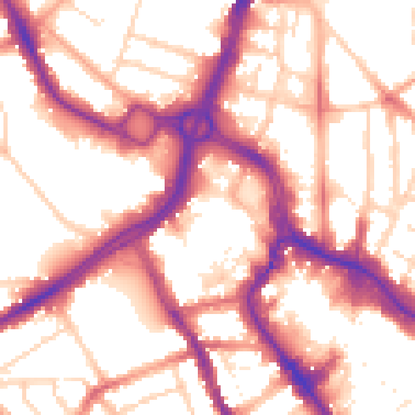
Daytime· 07:00 – 23:00
55.9dB

Night-time· 23:00 – 07:00
46.5dB