Taylor Point, Flat 4, 47 St Johns Road, Watford, WD17 1DF
About Taylor Point
Taylor Point is a one-bedroom detached house in Watford (WD17 1DF). It has a recorded floor area of 57 m² (around 614 sq ft) and construction records dating it to 2021. The latest certificate (September 2021) returns a B (score 81), comfortably above the UK average. Main heating runs on electricity: electricity, unspecified tariff. At 57 m² this is the 18th smallest of 60 units on EPC record in Taylor Point, where floor areas span 50–75 m². The building's EPC ratings span C to B, with this unit at the top.
Across 2022–2024, sale prices on this property compounded at 1.4% per year. Today's modelled estimate of £110,000 is 14.6% above the 2024 sale price. Sold August 2024 for £96,000.
What this property has
Inside
- Bedrooms1
- Bathrooms1
Outside
- Private gardenYes
Everything you need to know about Taylor Point
The true value, the hidden risks and the full sale history, in one report.
30-day money-back guarantee

The data behind every report


Energy performance
Taylor Point's carbon output is low for the local stock.
EPC Rating
Planning history
Taylor Point has no planning applications on record.
Notable planning nearby
7applications of note in the surrounding area
We flagged 2 things worth checking at Taylor Point
Independent checks surfaced things a buyer would want to understand before offering. The report explains each one in full, with the underlying data and what to ask.
- Signs of HMO activity in the area
- Larger development activity nearby
30-day money-back guarantee
Sales history & valuation
£110,000
Modelled from EPC, postcode comparables and a sale-price growth of 1.4% per year over 2 years.
£96,000
Growth on file: 1.4% per year over 2 years.
Sales timeline
28 August 2024Most recent
£96,000
+3.2%over 2 years12 May 2022
£93,000
Median price across the last 3 sales in WD17 1DF: £117,750 (2022–2022).
Versus other St Johns Road homes
On years held, Taylor Point runs well behind the street norm.
Price per m²
£1,684
Street avg £2,307
Floor Area
57 m²
Street avg 62 m²
CO₂ Emissions
1.2 t/year
Street avg 1.2 t/year
Years Held
2 years
Street avg 4 years
Everything you need to know about Taylor Point
The true value, the hidden risks and the full sale history, in one report.
30-day money-back guarantee
The data behind every report
Similar properties nearby
135a, Flat 1, The Parade, High Street
WD17 1BS
135a, Flat 13, The Parade, High Street
WD17 1BS
135a, Flat 15, The Parade, High Street
WD17 1BS
135a, Flat 17, The Parade, High Street
WD17 1BS
135a, Flat 11, The Parade, High Street
WD17 1BS
103 105, Flat 5, St Albans Road
WD17 1RD
135a, Flat 12, The Parade, High Street
WD17 1BS
135a, Flat 14, The Parade, High Street
WD17 1BS
The neighbourhood at a glance
Rail-style transport is unusually close for this postcode.
Crime
10/mo
Steady year-on-year across the wider district.
Nearest stop
0.1 km
Beechen Grove North — bus stop.
Closest school
0.5 km
Lanchester Primary School. 36 schools nearby.
Go deeper on the local area
The full report breaks down crime, transport links, schools and air quality in depth.
Road noise across the postcode
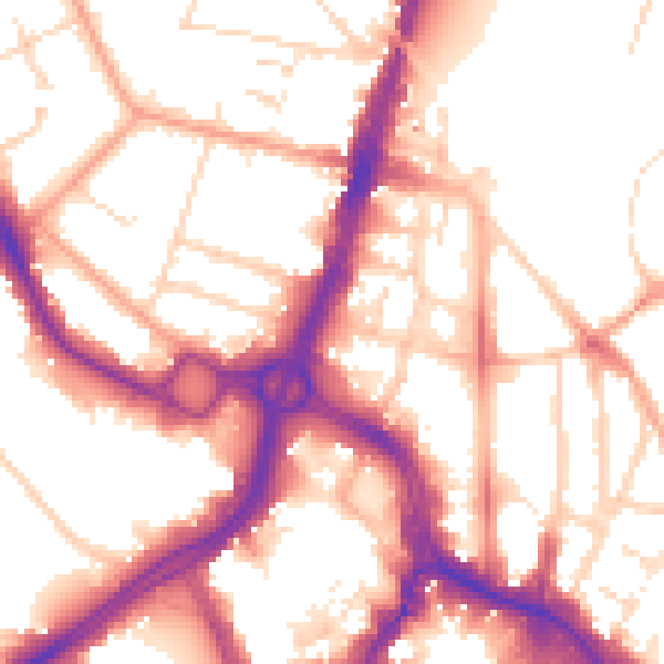
Daytime· 07:00 – 23:00
54.8dB

Night-time· 23:00 – 07:00
45.3dB