11 Elm Road, Rixton, Warrington, WA3 6LP
About 11 Elm Road
11 Elm Road is a semi-detached house in Rixton, Warrington, Warrington (WA3 6LP). It has a recorded floor area of 111 m² (around 1195 sq ft), construction records dating it to 1967-1975 and council tax band D. The latest certificate (October 2020) shows a D (score 63), on the cusp of jumping into the C band. The rating has held steady at D across 2 certificates since May 2014. Between certificates, roof efficiency went from Very Poor to Good and lighting went from Very Poor to Average; while wall efficiency dropped from Good to Average. The recommended improvements would push it to C (score 79). Main heating runs on electricity.
Untraded for 28 years, with the last transfer in July 1998. Only one transfer is on record with HM Land Registry, suggesting it has stayed in the same hands for a long time. Today's modelled estimate of £310,000 sits 747.4% above the 1998 sale of £36,582. On a £-per-square-foot basis, the last sale (£31/sq ft) was about 78.5% below the postcode norm.
Everything you need to know about 11 Elm Road
The true value, the hidden risks and the full sale history, in one report.
Pick your report · every report is £14.99
One time fee only - money back guarantee

The data behind every report


Energy performance
11 Elm Road's carbon output runs well above what efficient homes in the postcode produce.
EPC Rating
Property Improvements
Changes detected from historical EPC data
Roof insulation improved
Get a survey for this property
Level 3 Building Survey
Because the property has been extended more than once and has no mains gas supply, we believe a Level 3 building survey should be considered.
From £955 · Includes VAT
Planning history
11 Elm Road has no planning applications on record.
A planning report still maps activity across the surrounding area and reads this property's extension & conversion potential.
Sales history & valuation
Latest sale on 11 Elm Road was the lowest on Land Registry record across the postcode.
£310,000
Modelled from EPC, postcode comparables.
£36,582
Recorded with HM Land Registry.
Sales timeline
23 July 1998Most recent
£36,582
Median price across the last 5 sales in WA3 6LP: £270,000 (2025–2020).
Nearby sales in WA3 6LP
18 Elm Road, Rixton, Warrington, WA3 6LP
Sold May 2025
£307,0008 Elm Road, Rixton, Warrington, WA3 6LP
Sold Oct 2024
£270,0002 Elm Road, Rixton, Warrington, WA3 6LP
Sold May 2020
£222,5004 Elm Road, Rixton, Warrington, WA3 6LP
Sold Apr 2018
£180,0001 Elm Road, Rixton, Warrington, WA3 6LP
Sold Oct 2017
£247,500
Versus other Elm Road homes
On price per m², 11 Elm Road runs well behind the street norm.
Price per m²
£330
Street avg £2,249
Floor Area
111 m²
Street avg 97 m²
Habitable Rooms
6 rooms
Street avg 5 rooms
CO₂ Emissions
7.3 t/year
Street avg 4.9 t/year
Everything you need to know about 11 Elm Road
The true value, the hidden risks and the full sale history, in one report.
Pick your report · every report is £14.99
One time fee only - money back guarantee
The data behind every report
Similar properties nearby
1 Dove Close, Birchwood
WA3 6QH
1 Carden Close, Birchwood
WA3 6LT
1 Colebrooke Close, Birchwood
WA3 6RY
1 Applecross Close, Birchwood
WA3 6UX
1 Bramshill Close, Birchwood
WA3 6TY
1 Briar Avenue, Rixton
WA3 6JH
1 Birch Road, Rixton
WA3 6HZ
1 Barham Court, Birchwood
WA3 6ND
The neighbourhood at a glance
Crime
1/mo
Steady year-on-year across the wider district.
Nearest stop
0.1 km
School Lane — bus stop.
Closest school
0.2 km
St Helen's Church of England Primary School. 7 schools nearby.
Go deeper on the local area
A Local Area report breaks down crime, transport links, schools and air quality in depth.
Road noise across the postcode
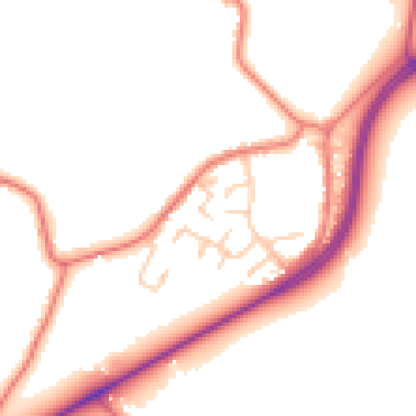
Daytime· 07:00 – 23:00
50.4dB

Night-time· 23:00 – 07:00
42.9dB