1 Ellesmere Road, Culcheth, Warrington, WA3 4BJ
About 1 Ellesmere Road
1 Ellesmere Road is a semi-detached house in Culcheth, Warrington, Warrington (WA3 4BJ). It has a recorded floor area of 122 m² (around 1313 sq ft), construction records dating it to 1950-1966 and council tax band C. The latest certificate (October 2020) shows a C (score 70). The recommended improvements would push it to B (score 82).
Today's modelled estimate of £384,000 sits 70.7% above the 2020 sale of £225,000. On a £-per-square-foot basis, the last sale (£171/sq ft) was about 108.4% above the typical sold price in the postcode. At 122 m² it's 19.6% larger than the typical home in the postcode (102 m² median across 11 EPCs). Its energy rating outperforms most of the postcode (better than 73% of similar EPCs). Most recent transfer: November 2020 at £225,000.
Everything you need to know about 1 Ellesmere Road
The true value, the hidden risks and the full sale history, in one report.
Pick your report · every report is £14.99
One time fee only - money back guarantee

The data behind every report


Energy performance
EPC Rating
Get a survey for this property
Level 2 HomeBuyer Report
We've checked 10 risk factors against the available data for this property and believe a Level 2 HomeBuyer Report could be a suitable option for you.
From £595 · Includes VAT
Planning history
1 Ellesmere Road has no planning applications on record.
A planning report still maps activity across the surrounding area and reads this property's extension & conversion potential.
Sales history & valuation
The latest sale landed in the post-pandemic price surge — useful context when reading the figure.
£384,000
Modelled from EPC, postcode comparables.
£225,000
Recorded with HM Land Registry.
Sales timeline
27 November 2020Most recent
£225,000
Median price across the last 5 sales in WA3 4BJ: £195,000 (2019–2005).
Nearby sales in WA3 4BJ
18 Ellesmere Road, Culcheth, Warrington, WA3 4BJ
Sold Feb 2019
£280,00020 Ellesmere Road, Culcheth, Warrington, WA3 4BJ
Sold Jul 2009
£195,00016 Ellesmere Road, Culcheth, Warrington, WA3 4BJ
Sold Jul 2007
£205,0006 Ellesmere Road, Culcheth, Warrington, WA3 4BJ
Sold Nov 2005
£153,00019 Ellesmere Road, Culcheth, Warrington, WA3 4BJ
Sold Jul 2002
£87,000
Versus other Ellesmere Road homes
On years held, 1 Ellesmere Road runs well behind the street norm.
Price per m²
£1,844
Street avg £1,168
Floor Area
122 m²
Street avg 103 m²
Habitable Rooms
6 rooms
Street avg 6 rooms
CO₂ Emissions
4.1 t/year
Street avg 4.6 t/year
Everything you need to know about 1 Ellesmere Road
The true value, the hidden risks and the full sale history, in one report.
Pick your report · every report is £14.99
One time fee only - money back guarantee
The data behind every report
Similar properties nearby
1 Glebeland, Culcheth
WA3 4DX
1 Beechmill Drive, Culcheth
WA3 4NN
1 Hutton Close, Culcheth
WA3 4DW
1 Coleclough Place, Culcheth
WA3 4LA
1 Cranwell Avenue, Culcheth
WA3 4JX
1 Cawley Avenue, Culcheth
WA3 4DF
1 Culcheth Hall Farm Barns, Withington Avenue, Culcheth
WA3 4AN
1 Daisy Bank Mill Close, Culcheth
WA3 4JH
The neighbourhood at a glance
Crime
1/mo
Steady year-on-year across the wider district.
Nearest stop
0.1 km
The Cherry Tree — bus stop.
Closest school
0.4 km
Twiss Green Community Primary School. 9 schools nearby.
Go deeper on the local area
A Local Area report breaks down crime, transport links, schools and air quality in depth.
Road noise across the postcode
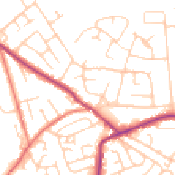
Daytime· 07:00 – 23:00
51.1dB

Night-time· 23:00 – 07:00
40.9dB