2 Branson Close, Golborne, Warrington, WA3 3GD
About 2 Branson Close
2 Branson Close is a detached house in Golborne, Warrington, Warrington (WA3 3GD). It has a recorded floor area of 80 m² (around 861 sq ft), construction records dating it to 1996-2002 and council tax band C. The latest certificate (April 2021) shows a D (score 67), on the cusp of jumping into the C band. The rating has held steady at D across 2 certificates since February 2010. Between certificates, roof efficiency went from Average to Good and lighting went from Very Poor to Good. The recommended improvements would lift it to B (score 82), a 2-band jump.
Last sale on file: £220,000 in May 2023. Across the public record there are 4 sales, relatively high churn for a single property. Across 2002–2023, sale prices on this property compounded at 4.9% per year. On a £-per-square-foot basis, the last sale (£255/sq ft) was about 109.2% above the typical sold price in the postcode.
Everything you need to know about 2 Branson Close
The true value, the hidden risks and the full sale history, in one report.
Pick your report · every report is £14.99
One time fee only - money back guarantee

The data behind every report


Energy performance
Recommended upgrades on file would lift this property by multiple EPC bands.
EPC Rating
Property Improvements
Changes detected from historical EPC data
Roof insulation improved
More low energy lighting installed
Get a survey for this property
Level 2 HomeBuyer Report
We've checked 10 risk factors against the available data for this property and believe a Level 2 HomeBuyer Report could be a suitable option for you.
From £545 · Includes VAT
Planning history
2 Branson Close has no planning applications on record.
But the area is active
3 notable applications nearby — larger schemes and conversions that could reshape the street. The report maps them all.
Sales history & valuation
Latest sale on 2 Branson Close was the highest on Land Registry record across the postcode.
£212,000
Modelled from EPC, postcode comparables and a sale-price growth of 4.9% per year over 21 years.
£220,000
Growth on file: 4.9% per year over 21 years.
Sales timeline
17 May 2023Most recent
£220,000
+50.7%over 16 years23 October 2006
£146,000
+13.2%over 2 years16 March 2004
£129,000
+61.4%over 2 years14 January 2002
£79,950
Median price across the last 5 sales in WA3 3GD: £135,000 (2019–2009).
Nearby sales in WA3 3GD
14 Branson Close, Golborne, Warrington, WA3 3GD
Sold Sept 2019
£135,0003 Branson Close, Golborne, Warrington, WA3 3GD
Sold Sept 2019
£166,3006 Branson Close, Golborne, Warrington, WA3 3GD
Sold Apr 2018
£120,00012 Branson Close, Golborne, Warrington, WA3 3GD
Sold Jun 2011
£123,66510 Branson Close, Golborne, Warrington, WA3 3GD
Sold Mar 2009
£144,999
Versus other Branson Close homes
Price per m² for 2 Branson Close runs comfortably ahead of the street norm.
Price per m²
£2,750
Street avg £1,734
Floor Area
80 m²
Street avg 84 m²
Habitable Rooms
4 rooms
Street avg 5 rooms
CO₂ Emissions
3.2 t/year
Street avg 3.7 t/year
Everything you need to know about 2 Branson Close
The true value, the hidden risks and the full sale history, in one report.
Pick your report · every report is £14.99
One time fee only - money back guarantee
The data behind every report
Similar properties nearby
1 Ash Grove, Golborne
WA3 3LQ
1 Barn Lane, Golborne
WA3 3NR
1 Barton Street, Golborne
WA3 3DH
1 Belton Close, Golborne
WA3 3WN
1 Croft Field, Golborne
WA3 3YR
1 Cliftonmill Meadows, Golborne
WA3 3NH
1 Bardney Avenue, Golborne
WA3 3TQ
1 Barnham Close, Golborne
WA3 3XR
The neighbourhood at a glance
Daytime road noise here sits well below conversation level — a quiet pocket of the postcode.
Crime
1/mo
Steady year-on-year across the wider district.
Nearest stop
0.3 km
Prescott Avenue — bus stop.
Closest school
0.9 km
St Thomas CofE Junior and Infant School. 15 schools nearby.
Go deeper on the local area
A Local Area report breaks down crime, transport links, schools and air quality in depth.
Road noise across the postcode
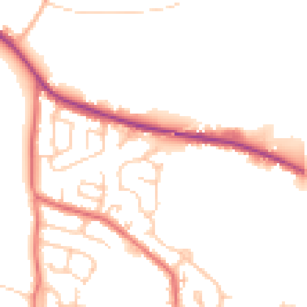
Daytime· 07:00 – 23:00
49.9dB

Night-time· 23:00 – 07:00
41.5dB