17a, Princess Avenue, Padgate, Warrington, WA1 3TS
About 17a
17a is a semi-detached house in Padgate, Warrington, Warrington (WA1 3TS). It has a recorded floor area of 61 m² (around 657 sq ft), construction records dating it to 1950-1966 and council tax band A. At 61 m² this is the 5th smallest of 25 units on EPC record in the building, where floor areas span 48–159 m². The building's EPC ratings span E to B across 25 units on file. The latest certificate (June 2025) shows a C (score 75), near the top of the C band.
At 61 m² it's 22.2% smaller than the typical home in the postcode (78 m² median across 24 EPCs).
Everything you need to know about 17a
The true value, the hidden risks and the full sale history, in one report.
30-day money-back guarantee

The data behind every report


Energy performance
EPC Rating
Planning history
17a has no planning applications on record.
Notable planning nearby
3applications of note in the surrounding area
We flagged 1 thing worth checking at 17a
Independent checks surfaced things a buyer would want to understand before offering. The report explains each one in full, with the underlying data and what to ask.
- Larger development activity nearby
30-day money-back guarantee
Sales history & valuation
17a has no Land Registry sales on file, suggesting it has stayed in the same hands since registration began.
£117,000
Modelled from EPC, postcode comparables.
No sales recorded with HM Land Registry
That can mean the property has never traded since the registry began publishing in 1995, was a new build that hasn't been registered yet, or is held in the same hands long-term.
Median price across the last 5 sales in WA1 3TS: £176,000 (2025–2019).
Nearby sales in WA1 3TS
21 Princess Avenue, Padgate, Warrington, WA1 3TS
Sold Nov 2025
£240,00011 Princess Avenue, Padgate, Warrington, WA1 3TS
Sold Nov 2022
£150,0006 Princess Avenue, Padgate, Warrington, WA1 3TS
Sold Jul 2021
£203,00010 Princess Avenue, Padgate, Warrington, WA1 3TS
Sold Aug 2020
£176,00017 Princess Avenue, Padgate, Warrington, WA1 3TS
Sold May 2019
£78,000
Versus other Princess Avenue homes
EPC Rating for 17a runs comfortably ahead of the street norm.
EPC Rating
75 (C)
Street avg 71 (C)
Floor Area
61 m²
Street avg 58 m²
CO₂ Emissions
1.9 t/year
Street avg 2.2 t/year
Habitable Rooms
3 rooms
Street avg 2 rooms
Everything you need to know about 17a
The true value, the hidden risks and the full sale history, in one report.
30-day money-back guarantee
The data behind every report
Similar properties nearby
The neighbourhood at a glance
Rail-style transport is unusually close for this postcode.
Crime
3/mo
Steady year-on-year across the wider district.
Nearest stop
0.1 km
Green Lane Shops — bus stop.
Closest school
0.2 km
Bruche Primary School Academy. 32 schools nearby.
Go deeper on the local area
The full report breaks down crime, transport links, schools and air quality in depth.
Road noise across the postcode
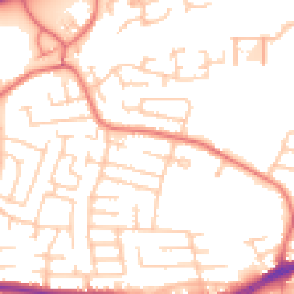
Daytime· 07:00 – 23:00
52.3dB

Night-time· 23:00 – 07:00
42.0dB