16 Beresford Street, Warrington, WA1 3SA
About 16 Beresford Street
16 Beresford Street is a two-bedroom mid-terrace house in Warrington (WA1 3SA). It has a recorded floor area of 95 m² (around 1023 sq ft), construction records dating it to 1900-1929 and council tax band A. The latest certificate (June 2025) shows a D (score 67), on the cusp of jumping into the C band. The recommended improvements would push it to C (score 79). Other recorded features include a loft. Period features are noted in the property record.
At 95 m² the property is well over the postcode median (69 m² across 20 EPCs), placing it in the larger end of the local stock. A recent sale: £209,000 in September 2025. Across 1999–2025, sale prices on this property compounded at 6.8% per year. On a £-per-square-foot basis, the last sale (£204/sq ft) was about 97.8% above the typical sold price in the postcode.
What this property has
Inside
- Bedrooms2
- Bathrooms1
- Dining roomYes
- LoftYes
Outside
- Private gardenYes
Building
- Period featuresYes
- RefurbishedYes
Everything you need to know about 16 Beresford Street
The true value, the hidden risks and the full sale history, in one report.
30-day money-back guarantee

The data behind every report


Energy performance
EPC Rating
Planning history
16 Beresford Street has no planning applications on record.
Notable planning nearby
3applications of note in the surrounding area
We flagged 1 thing worth checking at 16 Beresford Street
Independent checks surfaced things a buyer would want to understand before offering. The report explains each one in full, with the underlying data and what to ask.
- Larger development activity nearby
30-day money-back guarantee
Sales history & valuation
16 Beresford Street has more than quadrupled in price since its earliest registered sale in 1999.
£222,000
Modelled from EPC, postcode comparables and a sale-price growth of 6.8% per year over 26 years.
£209,000
Growth on file: 6.8% per year over 26 years.
Sales timeline
23 September 2025Most recent
£209,000
+469.5%over 26 years26 May 1999
£36,700
Median price across the last 5 sales in WA1 3SA: £190,000 (2024–2021).
Nearby sales in WA1 3SA
8 Beresford Street, Warrington, WA1 3SA
Sold Mar 2024
£190,0004 Beresford Street, Warrington, WA1 3SA
Sold Dec 2022
£190,0003 Beresford Street, Warrington, WA1 3SA
Sold Jul 2022
£280,00012 Beresford Street, Warrington, WA1 3SA
Sold Apr 2022
£220,0002 Beresford Street, Warrington, WA1 3SA
Sold Oct 2021
£155,555
Versus other Beresford Street homes
On years held, 16 Beresford Street runs well behind the street norm.
Price per m²
£2,200
Street avg £1,874
Floor Area
95 m²
Street avg 92 m²
Habitable Rooms
5 rooms
Street avg 5 rooms
CO₂ Emissions
3.2 t/year
Street avg 4.2 t/year
Everything you need to know about 16 Beresford Street
The true value, the hidden risks and the full sale history, in one report.
30-day money-back guarantee
The data behind every report
Similar properties nearby
1 Almond Grove, Paddington
WA1 3HA
1 Boundary Street
WA1 3DD
1 Bibby Avenue
WA1 3RH
1 Aspen Grove, Paddington
WA1 3ET
1 Bennett Court, Bennett Avenue
WA1 3PH
1 Birch Grove, Paddington
WA1 3JG
1 Bennett Avenue
WA1 3PQ
1 Claude Street
WA1 3GJ
The neighbourhood at a glance
Crime
3/mo
Steady year-on-year across the wider district.
Nearest stop
0.1 km
Cemetery — bus stop.
Closest school
0.2 km
Oakwood Avenue Community Primary School. 38 schools nearby.
Go deeper on the local area
The full report breaks down crime, transport links, schools and air quality in depth.
Road noise across the postcode
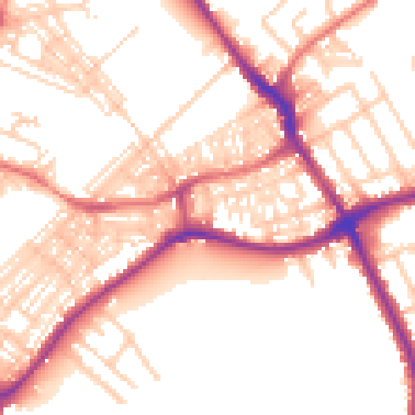
Daytime· 07:00 – 23:00
54.6dB

Night-time· 23:00 – 07:00
44.4dB